


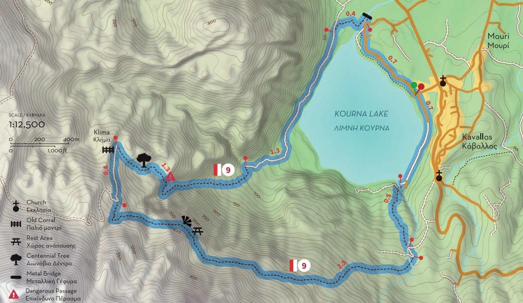
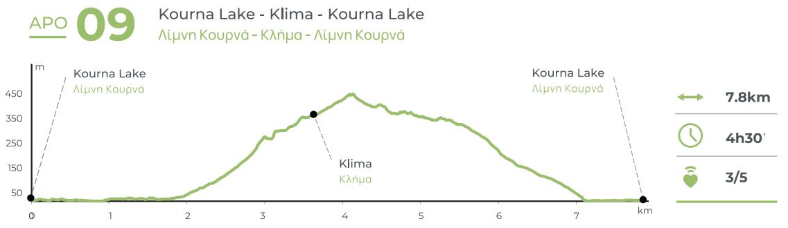
Paths of Apokoronas (Route 9)
Route 9: The lake tour
Lake Kournas (Μouri / Kavallos) - Delfinas bridge - Klima - Mati spring
Total length: 7.8 km, estimated time 4h 30΄
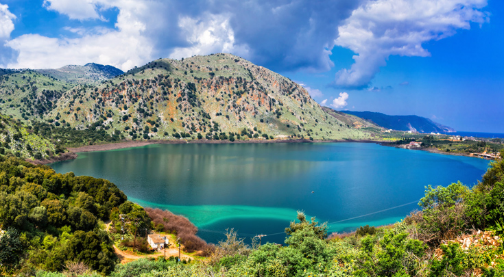
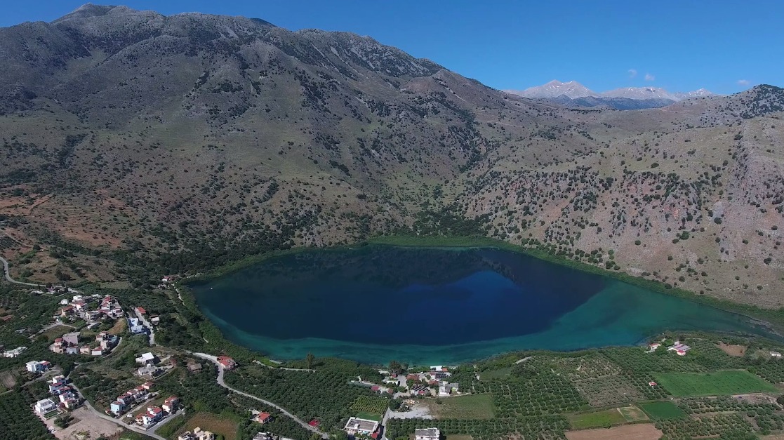
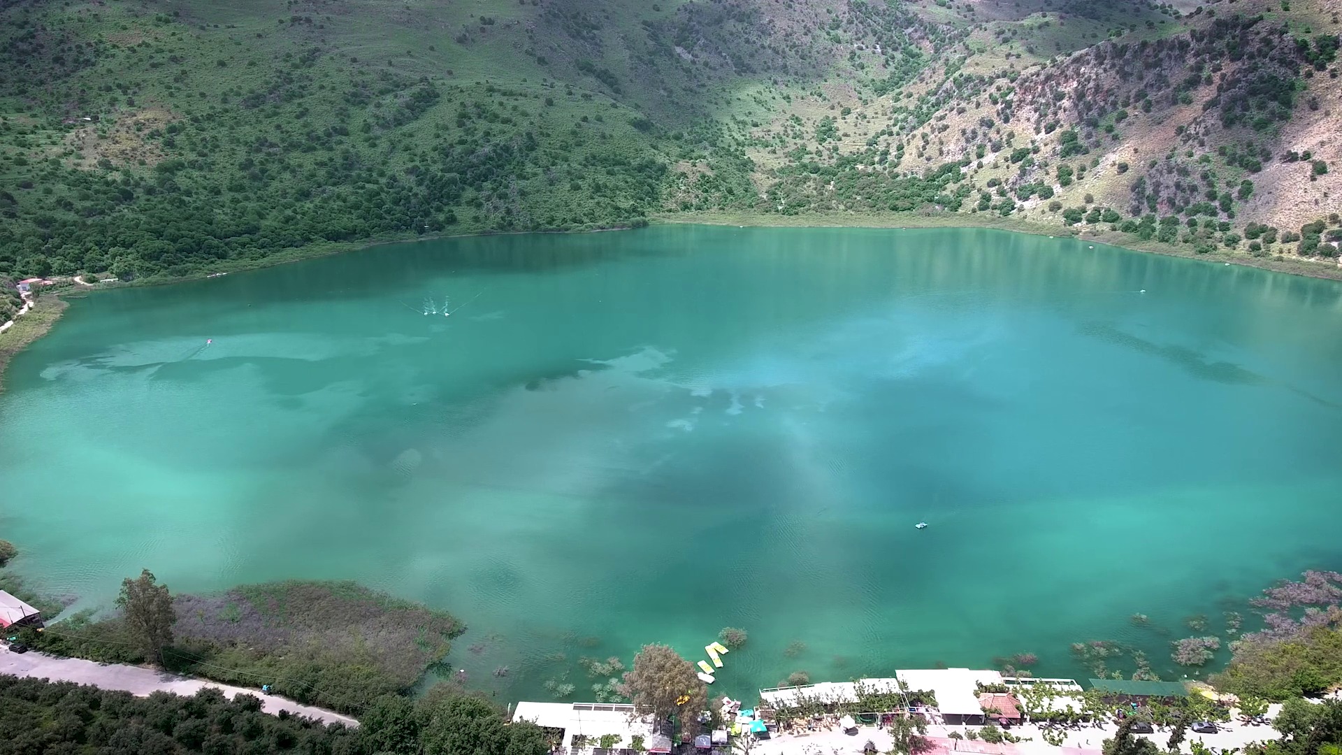
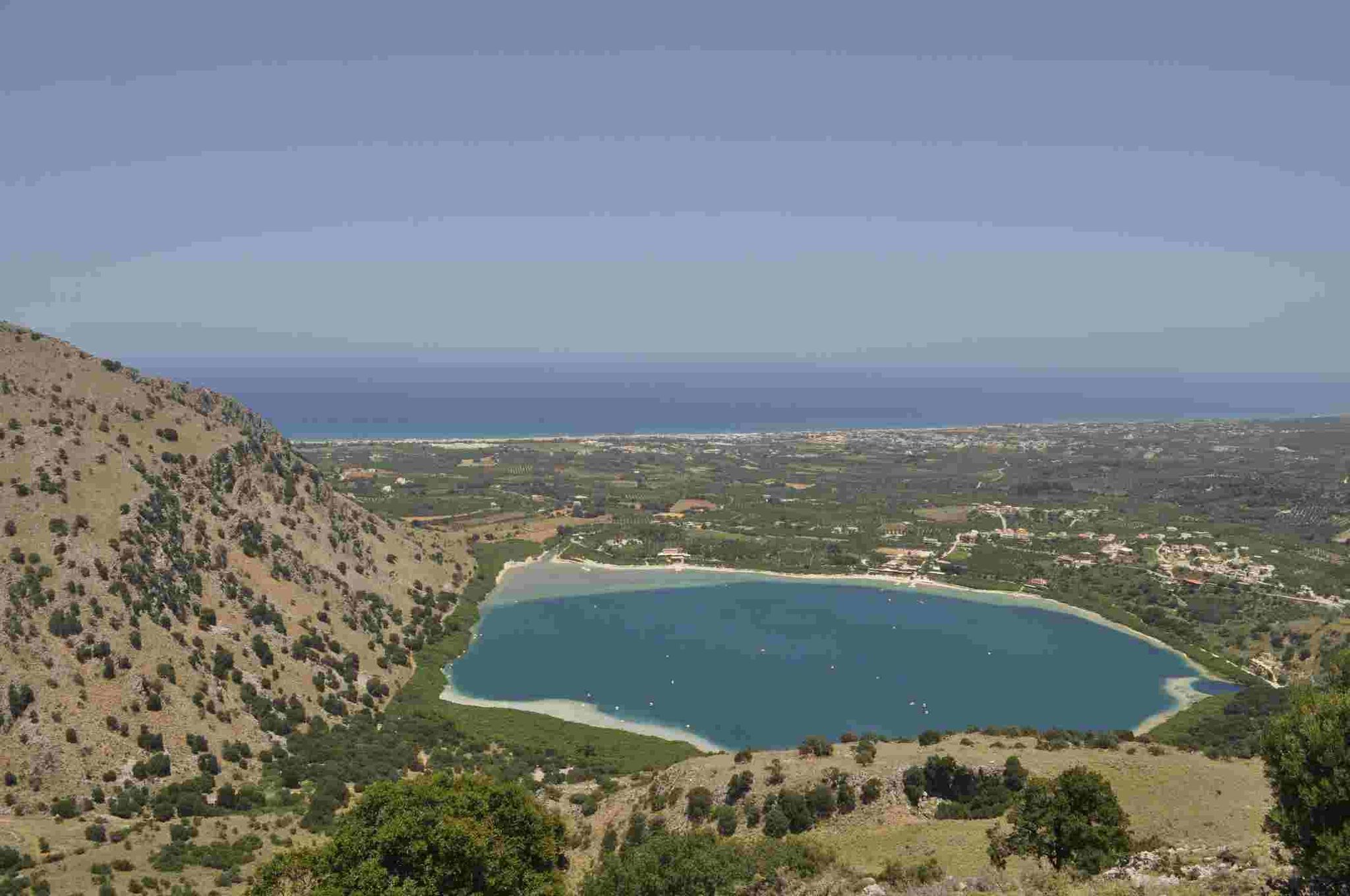
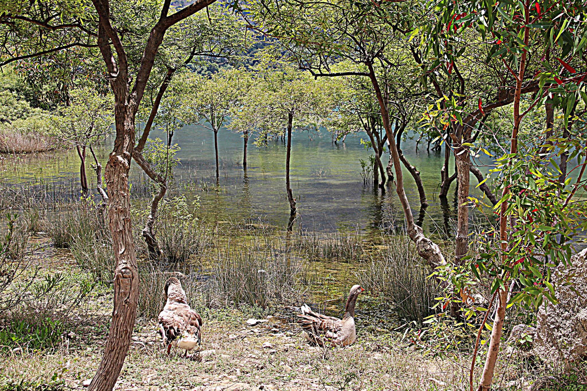
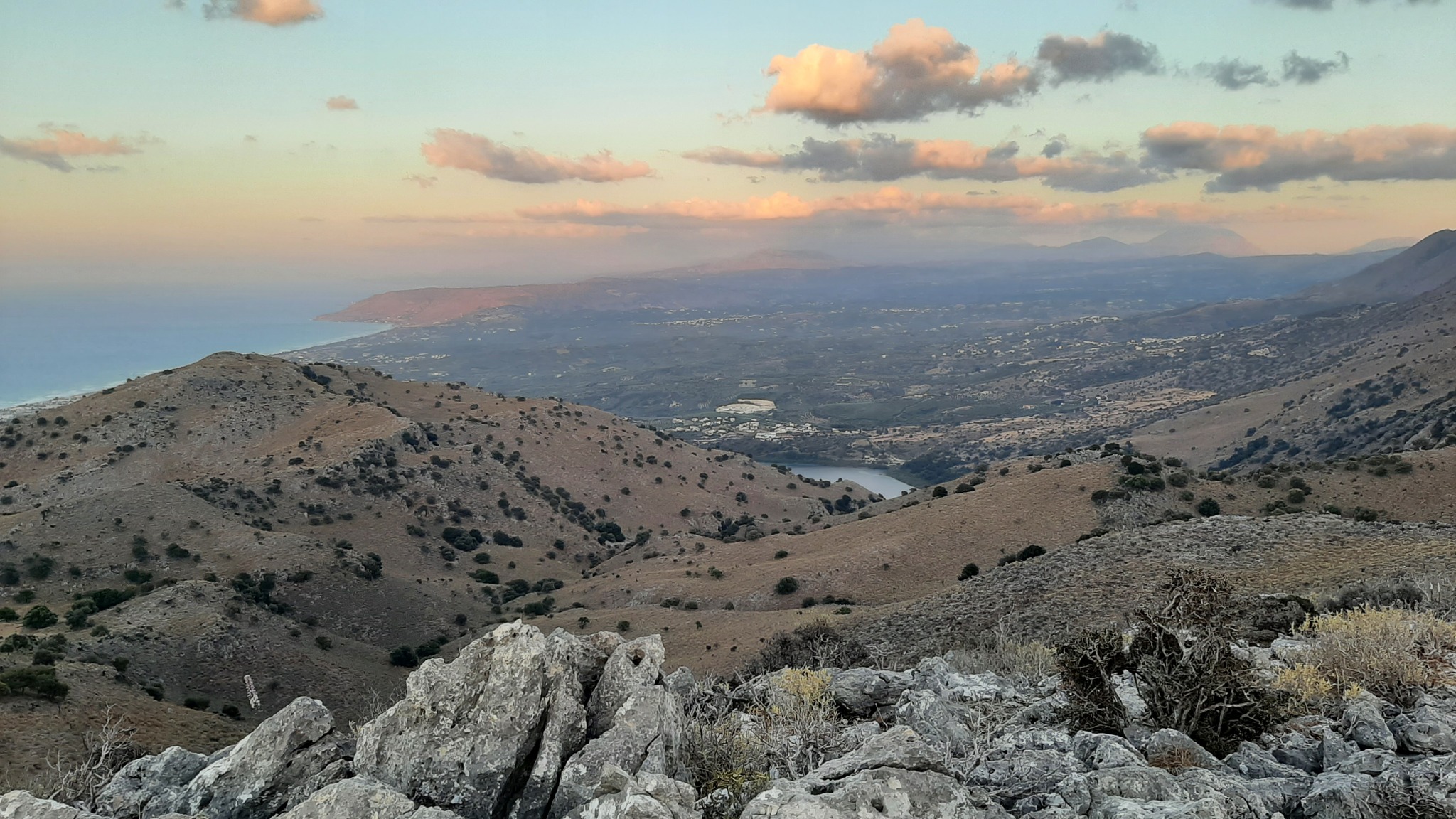
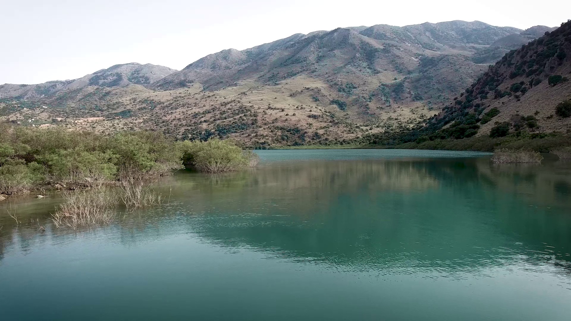
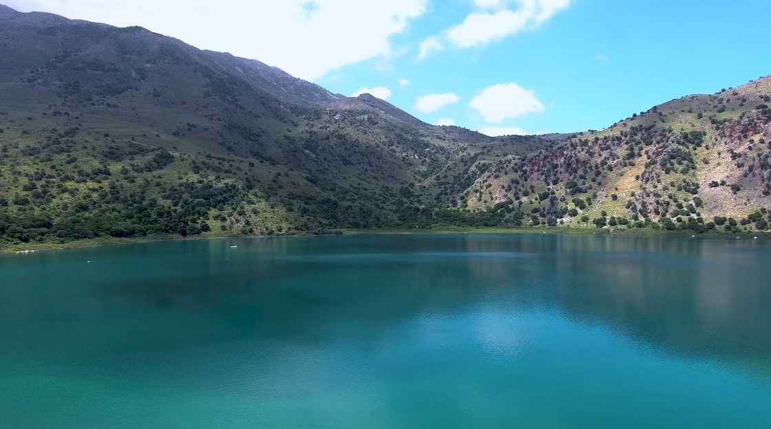
Lake Kournas is one of the most popular points of interest in Crete, and consequently one that could not be left out of the network of trails of Apokoronas. It is the largest natural lake in Crete and the largest natural lake on an island in the Mediterranean, but its beauty is not related to its uniqueness. In ancient times the lake was known as Korissia and archeologists believe there used to be a sanctuary dedicated to Athena Korissia on its banks. The name “Kournas” is probably connected to the Arab occupation of Crete (early 8th century - 961 AD), as “kourna” or “gourna” means lake in Arabic. The lake’s dimensions change over the year, but its maximum area reaches 579 acres and its volume is 7.5 million cubic meters. The lake is an important habitat for fish and migratory birds, and has been designated as a Bird Conservation Area that has been included in the Natura 2000 network.
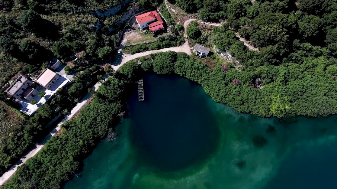
Route 9 starts from the east shore of the lake, where visitors can find many cafés and restaurants. On the east side of the road to Georgioupolis you can find the settlement of Mouri, while Kavallos is situated a bit further south. Once you meet the lake walk north along its east bank, turning left into a path that passes next to (left of) the last cafeteria at its north end. A few meters above you will find a small metal bridge, under which passes the river Delfinas, which flows into the Gulf of Almyros a few kilometers away, between Asproulianos and Kavros.
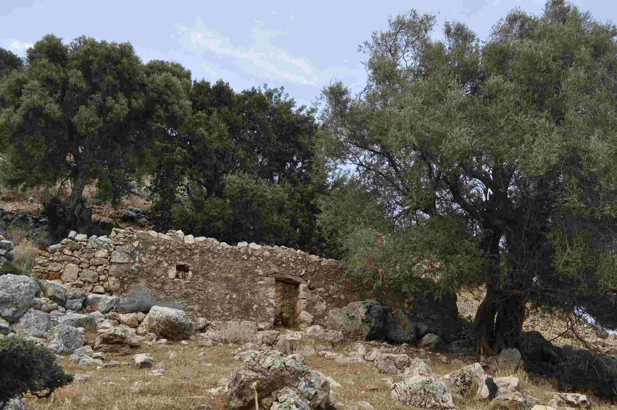
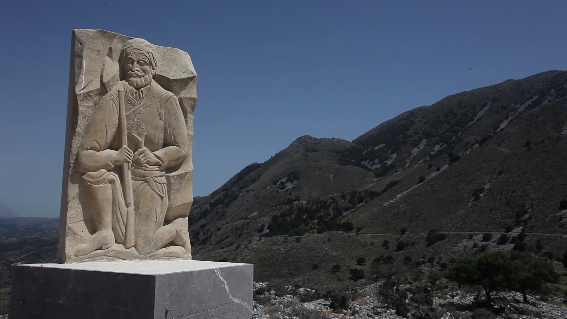
Cross over the bridge and follow the river back to the lake (heading southwest). Continue westwards and at a distance of about 300 meters you will encounter a dirt road, on which you should turn left (south) and continue walking along the west bank of the lake. This dirt road starts to climb after about 800 meters, but continue to the point where it ends (500 meters away) and narrows to a small uphill path. This path leads you after 1.3 km to Klima Alikambou, a historic site where the first armed gathering of the Metapoliteftiki Revolution took place on September 3, 1895. During the gathering Manousos Koundouros, a judge in Vamos, read before 1,500 armed men a memorandum that described the demands of the Christians of Crete, which was later sent to the foreign consulates in Chania. During the same revolution the local Sifis Lekanidis (from Alikambos) also played an important role.
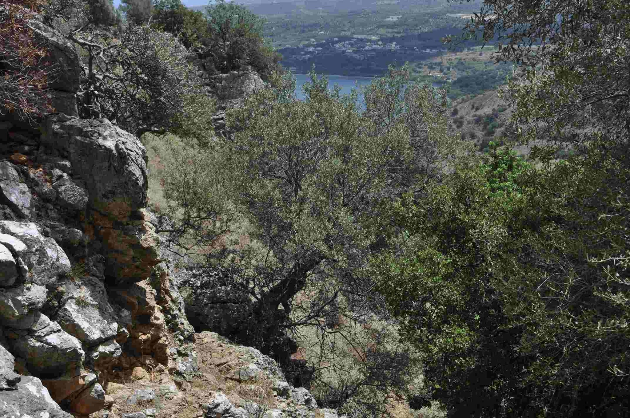
From Klima follow the dirt road to the south for about 400 meters, and then look for signage that shows you a path that continues to the south and then east. If you move correctly, after a while you will encounter a plateau with excellent views of the lake, the Gulf of Almyros and the valley of Mousselas, the river separating Apokoronas from Rethimno. Continuing on the same old, built path, some 2.5 km below you will encounter a dirt road that leads to Kavallos and Kournas. Leave this dirt road a few dozen meters below and turn left again (north) towards the lake, in order to reach the spring Mati (“eye”) 500 meters below, the largest natural spring that feeds the lake. From here follow a narrow dirt road that continues along the east bank of the lake (a few meters above it, to be precise) in order to return to the point you had started.

Source: Municipality of Apokoronas (2022)