


Paths of Apokoronas (Route 5)
Route 5: All of Apokoronas in one journey
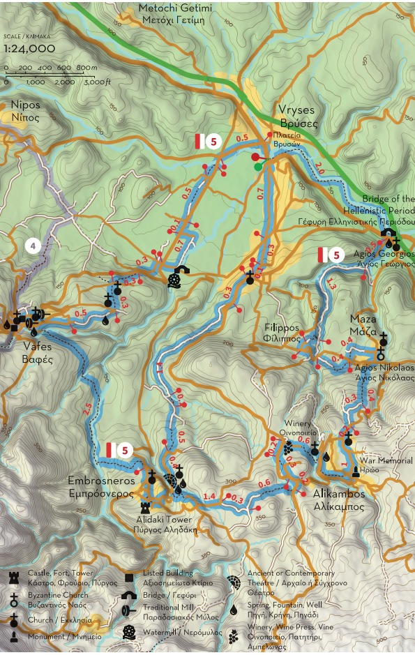
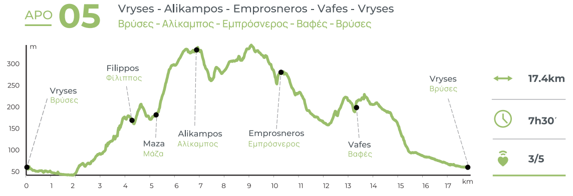
Total length of Route 5: 17.4 km, estimated time 7h 30'
Vrisses - Elliniki Kamara - Maza - Alikambos - Embrosneros - Vafes - Vrisses
Part A: 5.7, estimated time 2h 30'
Vrisses - Elliniki Kamara - Maza
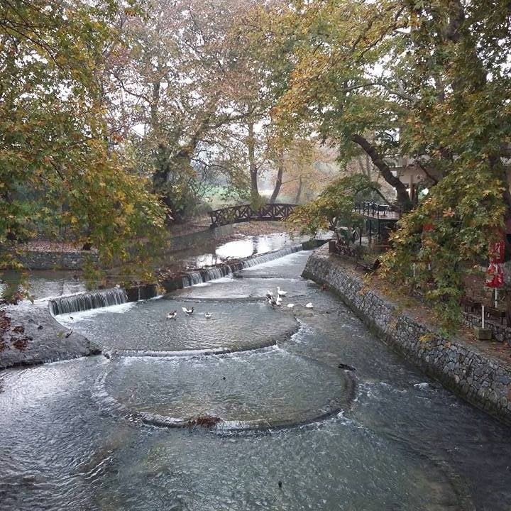
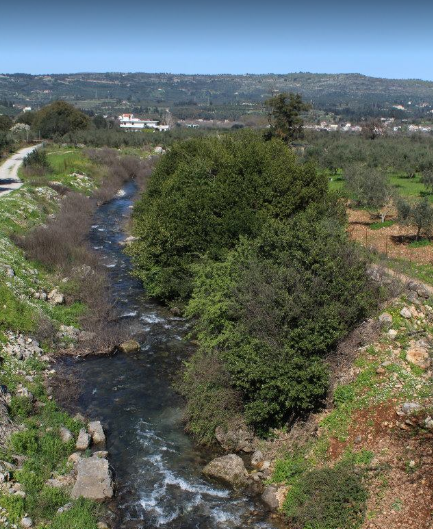
This is the longest route of the network of paths of Apokoronas, with a total length of 17.4 km. Through it the hiker will be able to get acquainted with many of the cultural monuments of the area, as well as amazing trails that had fallen into disuse for several years. This route starts from the village of Vrisses, seat of the Municipality of Apokoronas, which was founded at the beginning of the 20th century near the confluence of the rivers Boutakas and Farmakera, from which emerges the river Vrissianos. The bridge in the center of the village became a target of the Luftwaffe during the last phase of the Battle of Crete (end of May 1941), as thousands of Allied troops passed over it on their way to Sfakia, in order to be evacuated to Egypt.
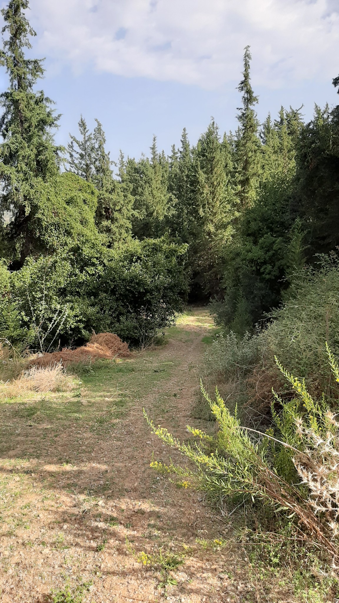
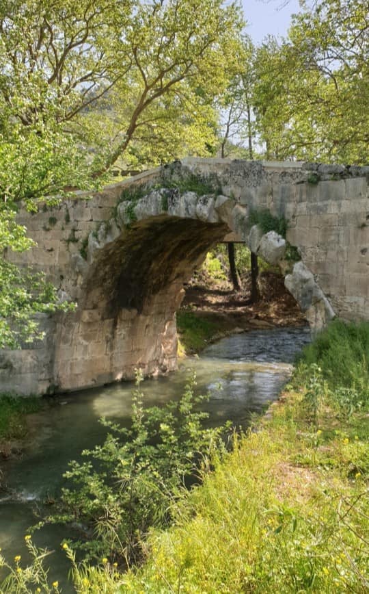
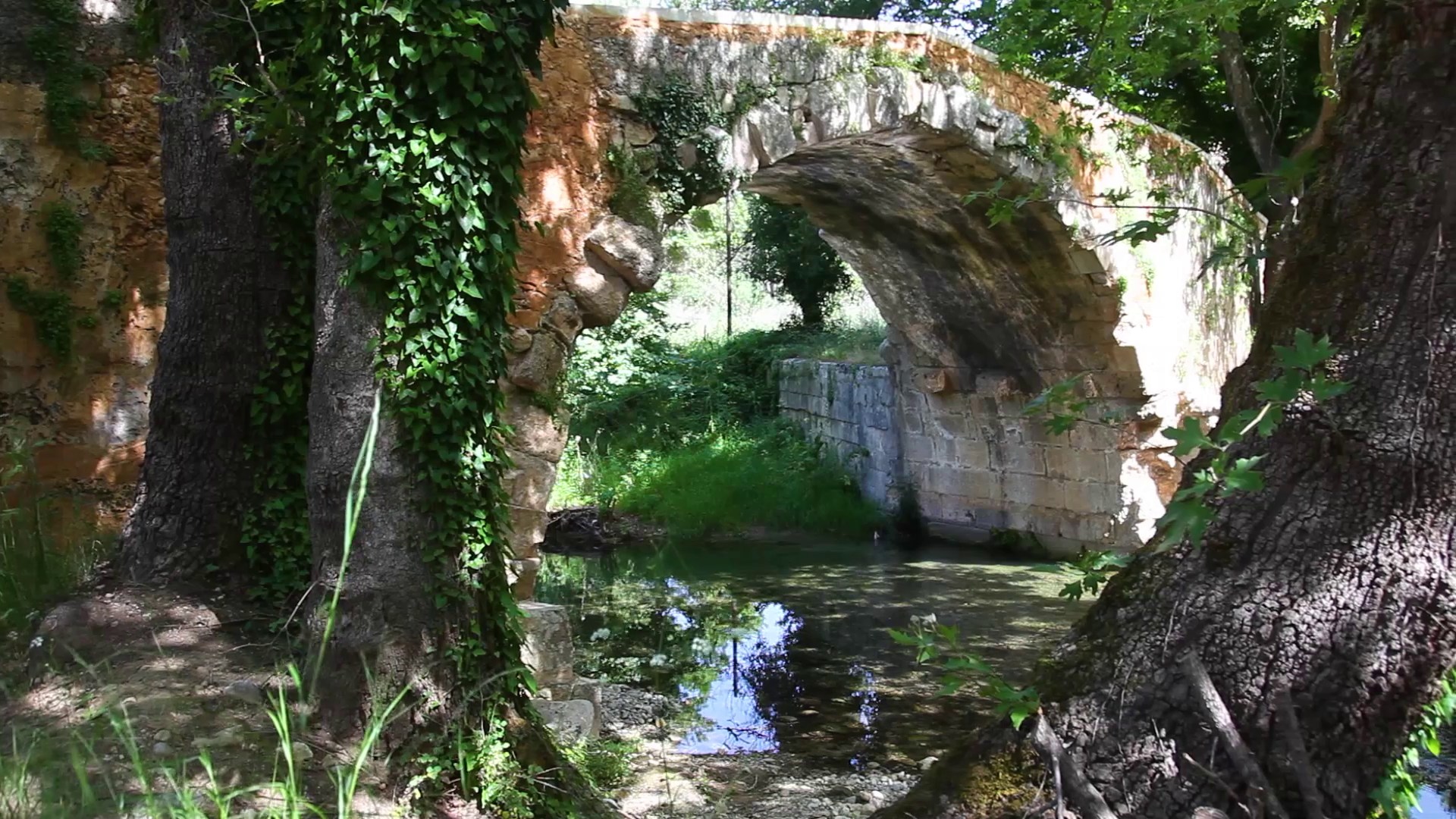
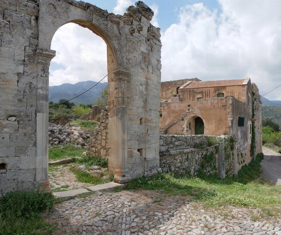
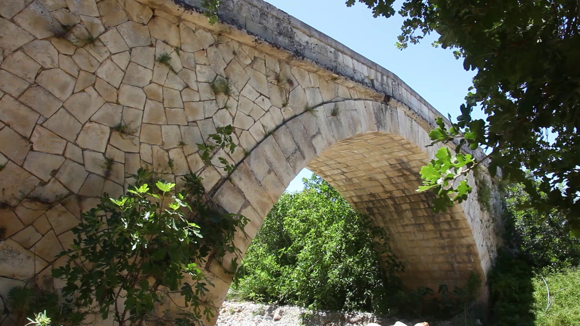
The path starts from this bridge and follows Vrissianos river to the southeast, through a landscape of rare natural beauty. The landscape changes depending on the time of the year, but in any case, it leads you after 2 km to Elliniki Kamara (Greek / Hellenistic Arch), one of the oldest arched bridges surviving in Crete. It was built during the Hellenistic period (323-30 BC) but has several later additions. It was part of the main road that connected Chania with Rethimno, known during the Venetian occupation as “Strada Reale” (Royal Road). From Elliniki Kamara continue uphill (south) for about 0.5 km along a small asphalt road, which narrows into a path in a small gorge between the settlements of Filippou and Maza. As you walk, you’ll find yourself in a lush landscape with few traces of human presence.
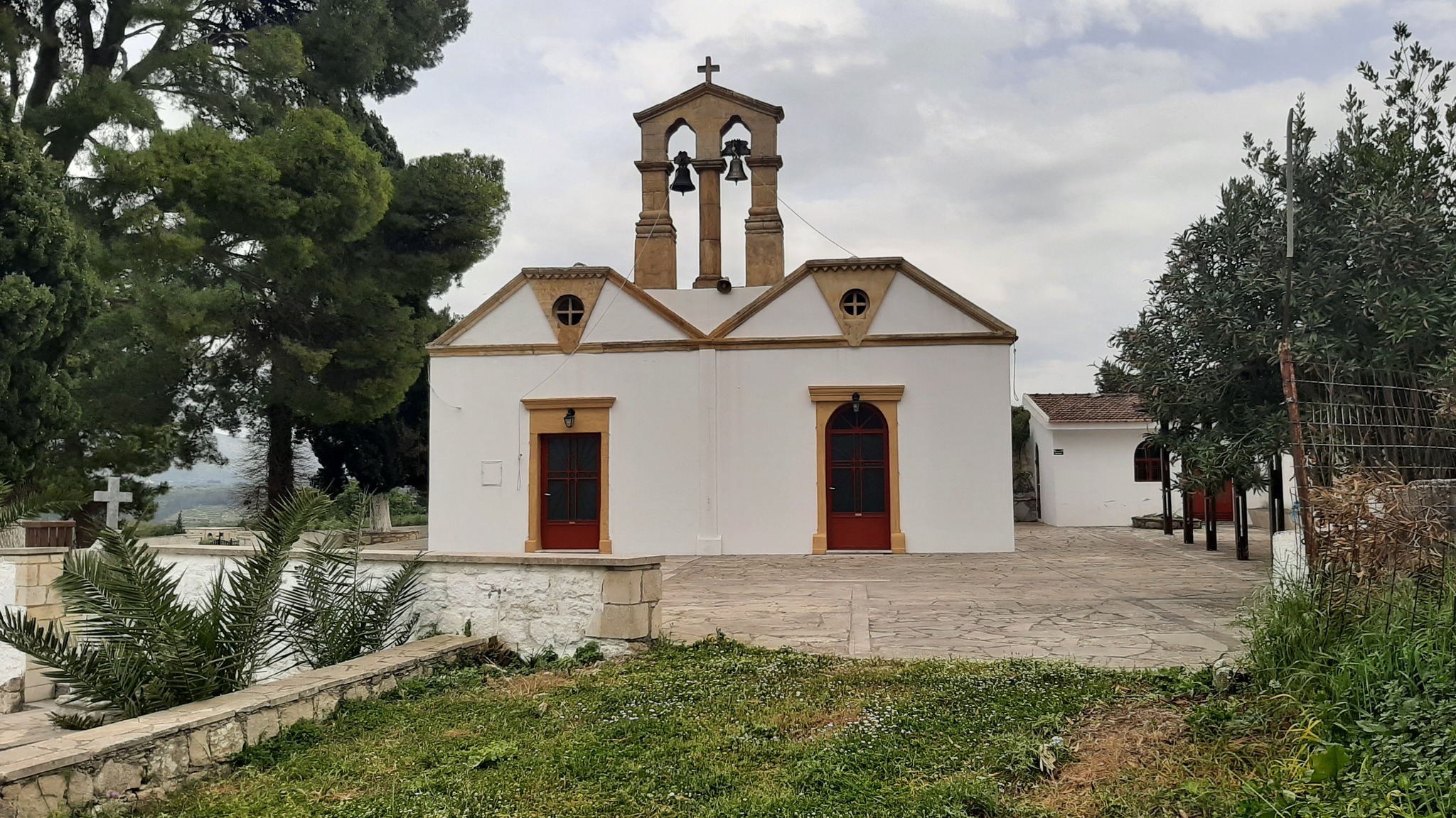
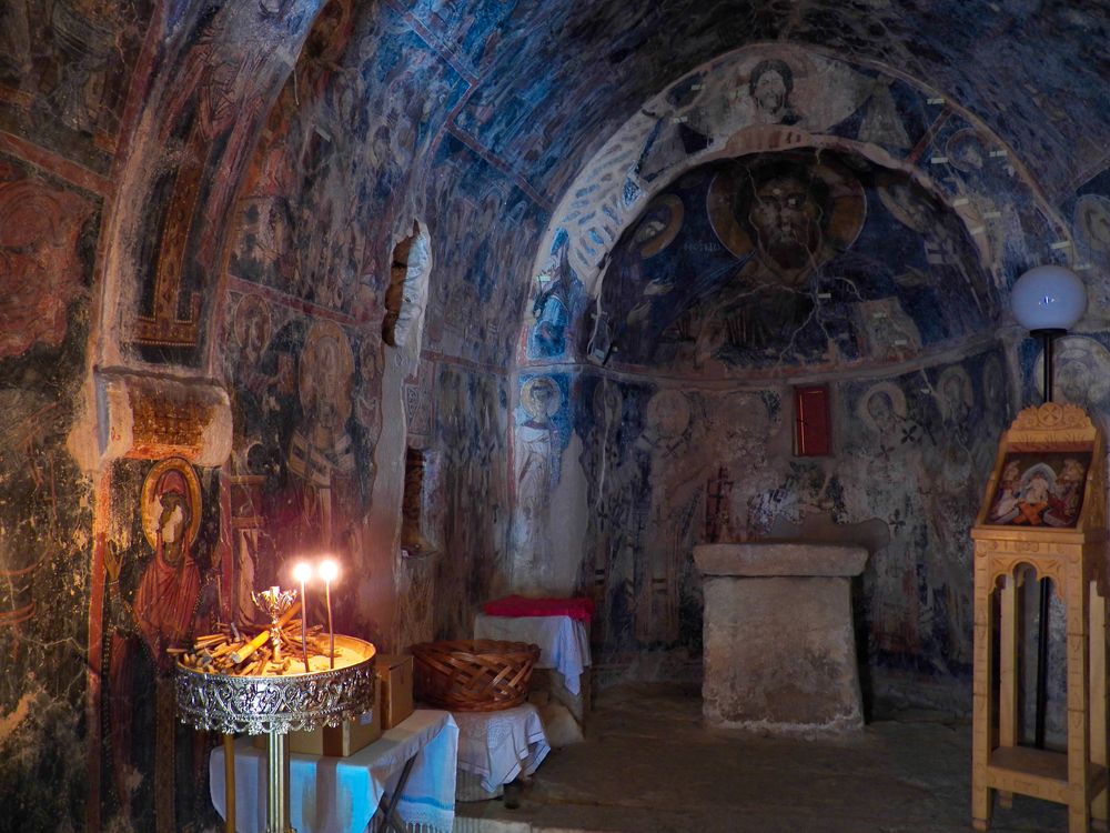
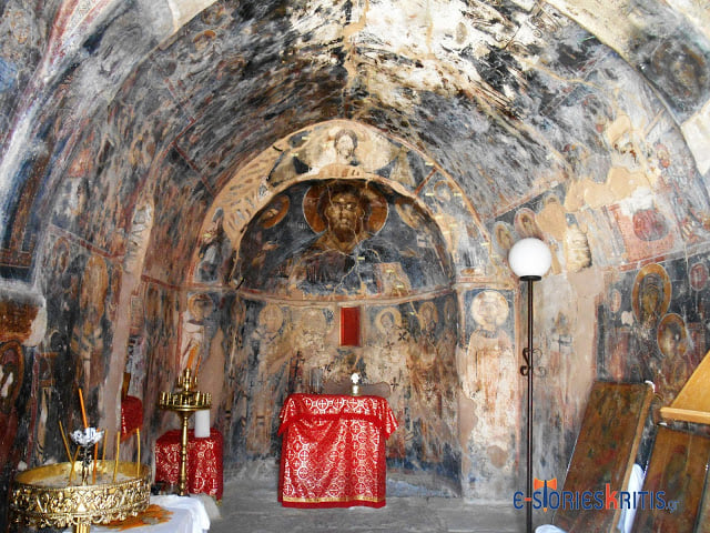
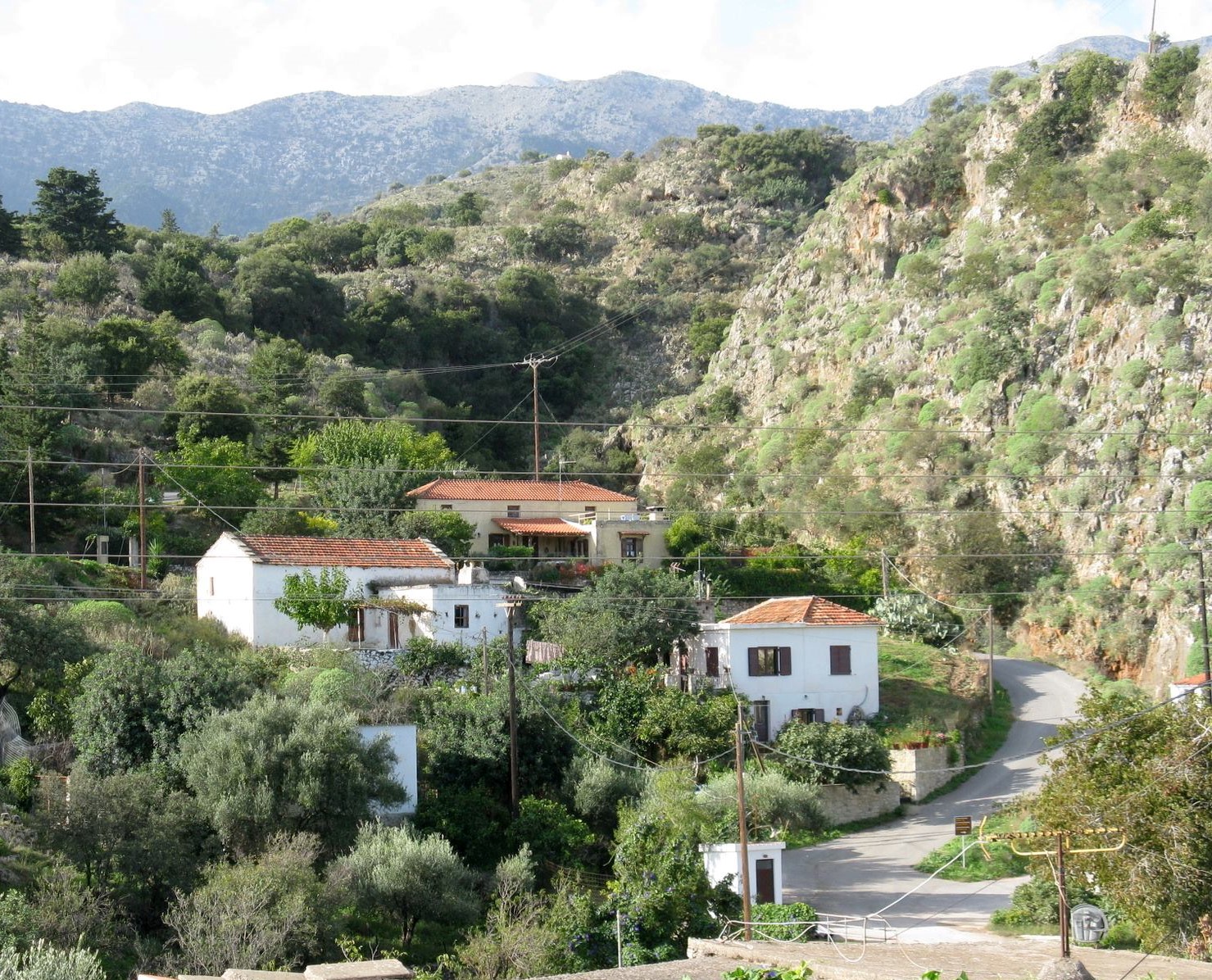
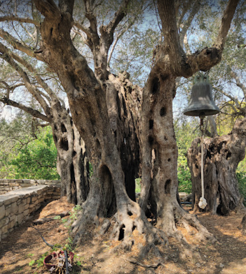
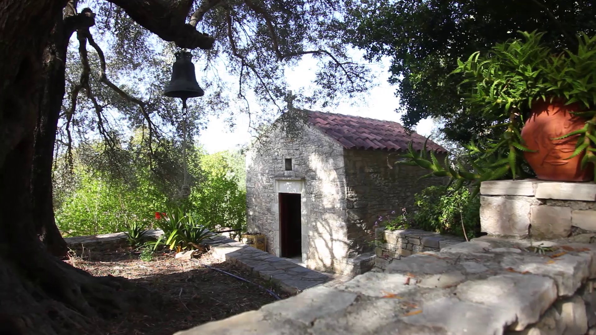
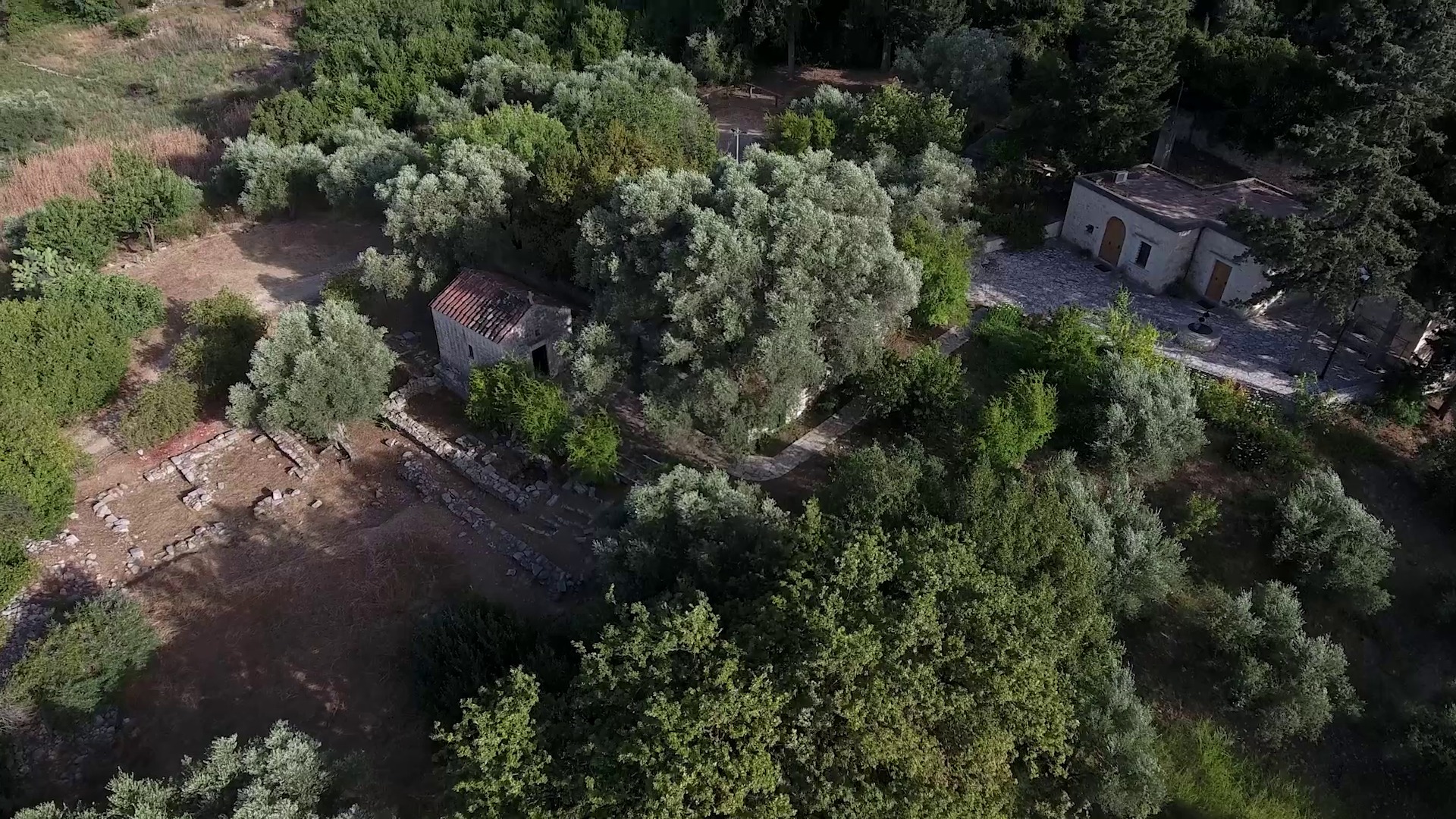
This gorge is about 1.5 km long and leads to Filippou, a small settlement that belongs administratively to Vrisses. From here you can move west along the asphalt road and return to Vrisses, or follow the path signs (east) to Maza, where you can visit the one-room church of Agios Nikolaos in the center of the village. The church is decorated with impressive frescoes made by the hagiographer Ioannis Pagomenos in 1325. The inscription above the entrance reads “church of Agios Nikolaos Mazianos”, which implies the village pre-existed the church. Tombs of unknown date were discovered in and around the church, while visitors can also find the church of the Savior (Sotiras) of the 16th century a bit further away. The village is mentioned as Masa by Barozzi in 1577, as Maxa Filippu Ganbassa (Massa, Filippou and Habatha) by Castrofilaca in 1583 and as Masa Alicambo by Basilicata in 1630. An asphalt road connects Maza to the new national road, but we suggest you continue south to Alikambos and the other mountain villages of Kryonerida. The route will definitely compensate you.
Part B: 5.5 km, estimated time 2h 20΄
Maza - Alikambos - Embrosneros
Part B of Route 5 moves at a higher altitude than Parts A and C, but any difficulty that may arise is “compensated” by the views you will enjoy at several points along the way and by the beauty of the villages and nature you will encounter. The first part of the route from Maza to Alikambos (1.3 km) is the steepest, but it follows an old path, a small part of which was paved a few years ago to connect the two villages by road.
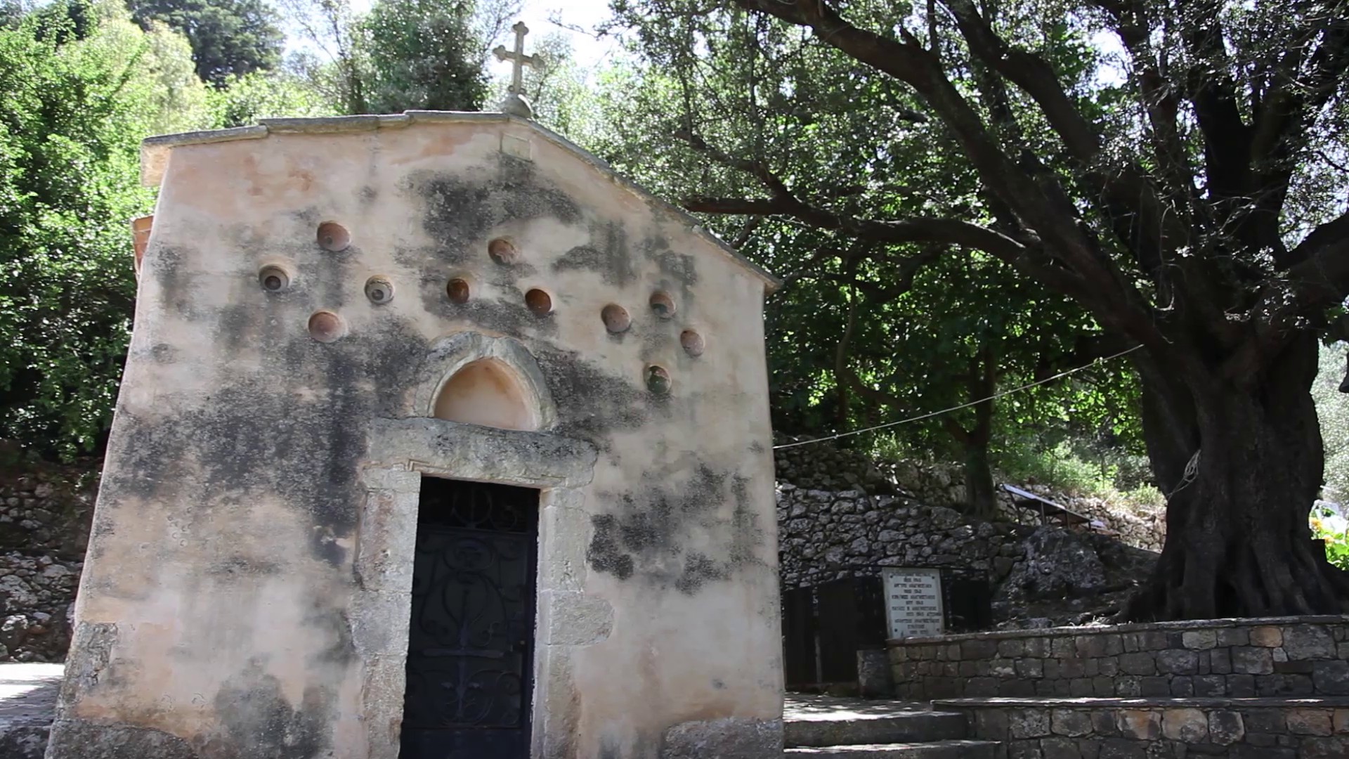
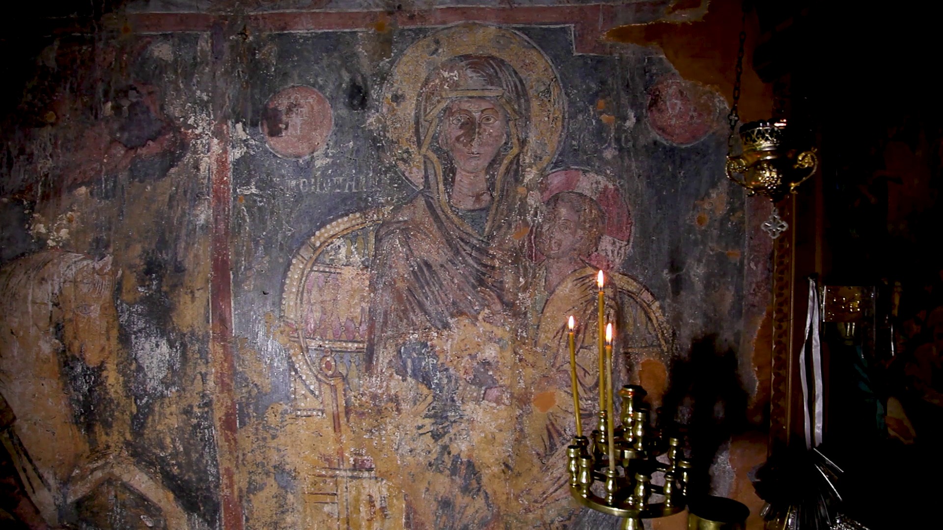
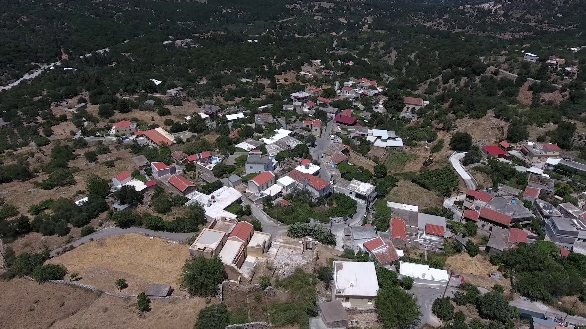
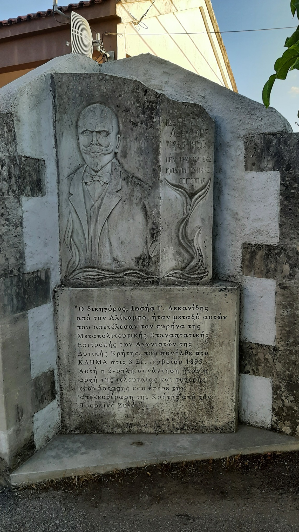
Alikambos is the easternmost village of the area called “Riza” (foothills) of the White Mountains (Lefka Ori), located at an altitude of 300 meters. We do not know when the village was founded, but archeologists estimate there must have been a Minoan peak sanctuary in this area, called “Archavli”, a name that today survives in the name of the cultural association of the village. In the 12th century the village and its broader area became a fief of the Skordili family, a branch of which acquired the nickname Malafarás after the 13th century. During the following two centuries the village prospered, leading to the construction and decoration of notable churches, such as that of the Assumption of the Virgin (Kimisi tis Theotókou), decorated by Ioannis Pagomenos around 1315. Alikambos is also known as the birthplace of Iosif Lekanidis, a lawyer that became secretary general of the Metapoliteftiki Committee and played a major role during the events of 1895-1898 in Crete. Once you reach the War Memorial at the main square of the village, turn right (west) to Emprosneros, descending towards Douraki Winery (1.1 km), where it’s worth catching or organizing a tour and tasting the local wines.
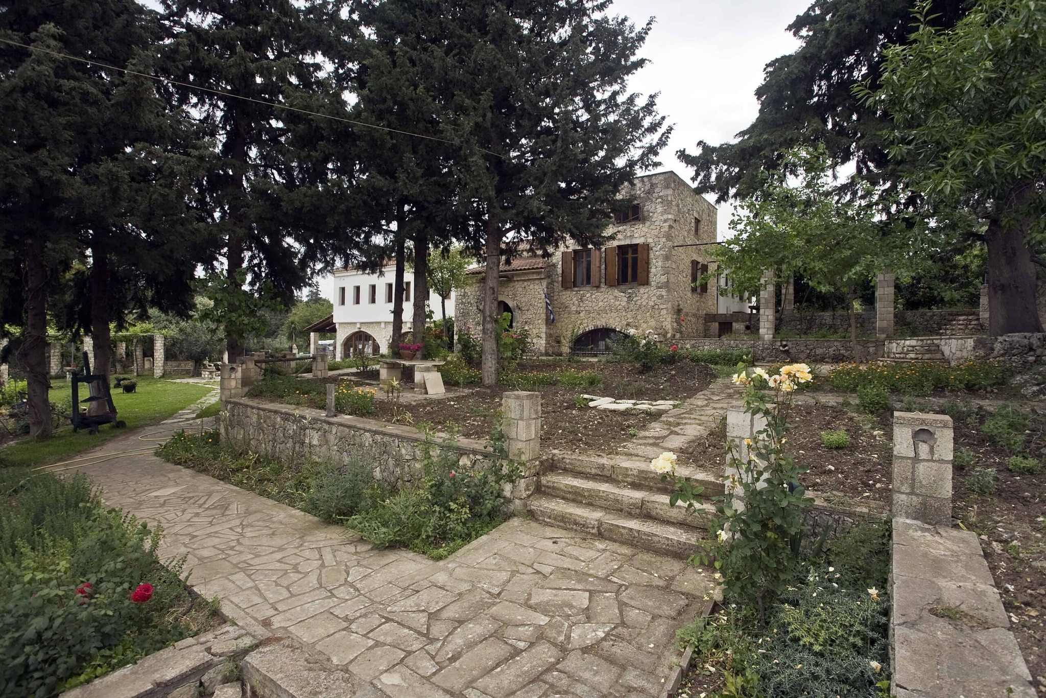
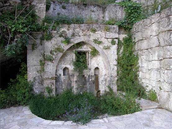
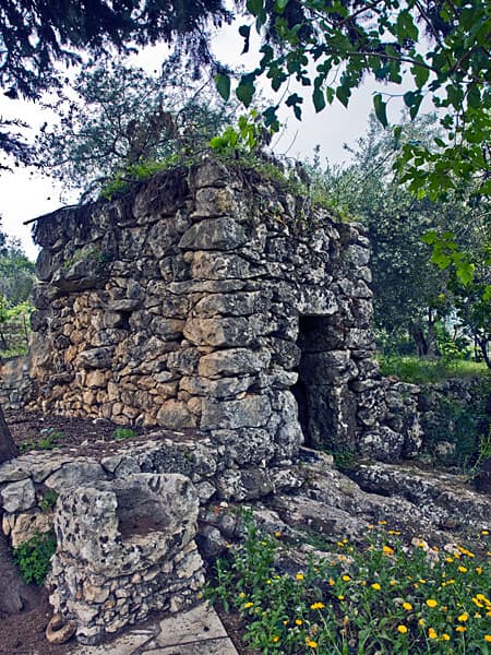
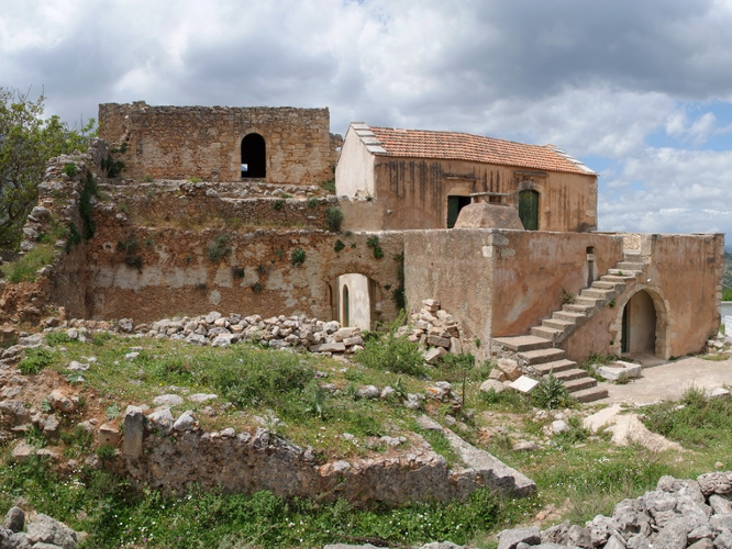
From the winery, continue south along the road to Sfakia, turning right (west) at the sign 700 meters below. Follow a small path that gradually becomes a dirt road and later a road that leads to Embrosneros, some 2.3 km away. Embrósneros (or Brónieros) is also one of the villages of “Riza”, located at an altitude of 241 meters. The village’s name is most probably connected to a small stone fountain at the springs of river Boutakas. Entering the village from the north, the fountain is one of the first things you see, hence embros-nero (translated as “water first”). Once you reach the Mesochori district of the village, look for Alidakis Tower, home and base of the mighty janissary Ibrahim Alidakis, who controlled a big part of Apokoronas at the end of the 18th century, from the river Mousselas to the east to the hills of Vamos and Stylos. After the end of Daskalogiannis’ revolt in 1770, Alidakis planned to campaign against the Sfakians and impose his rule, but the latter learnt about his plans and attacked his tower first (probably in 1773), killing Alidakis and most of those who defended him. In the village one can find many old and newer churches, the most notable being those of Agios Antonios, Profitis Ilias, Agia Anna, Agios Titos and Panagia, while another point of interest is the Municipal Theater “Mikis Theodorakis”, where many artistic and music events are hosted every year.
From Embrosneros you can return to Vrisses following a path along the river Boutakas (3.8 km), or continue west to Vafes (2.8 km), from where you can get back to Vrisses or follow Route 4 to the “Villages of the cypress trees” described in a previous notification.
Part C: 6.2 km, estimated time 2h 40΄
Embrosneros - Vafes - Vrisses
Part C of route 5 is generally downhill, but passes through some beautiful landscapes, such as those of Kryonerida Gorge and the river Boutakas valley. From Alidakis Tower or “Mikis Theodorakis” Theater in Embrosneros, head to the church of Agios Titos and Kimisi (St Titus and the Assumption of the Virgin), located at the northwestern end of the village, near the road to Vrisses. Continue on this road (northwards) for about 150 meters and just before the junction to the temple of Michael the Archangel, turn left (northwest) on a dirt road (to the left of two other roads that continue north) and follow an old path that leads to Vafes.
About 600 meters away, having left the village behind, you will descend to the Gorge of Kryonerida, following the stream (northwards) for about 700 meters. Then turn left (west) once you see the signs and red-white marks and walk slightly uphill on the west side of the gorge, finding an old path (some 680 meters away) that leads to Vafes (450 meters).
You can find more information about Vafes in the description of Route 4, as the village is also the beginning and end of that route, which connects it to Tzitzifes, Fres and Nipos. Alternatively, continue on the last part of Route 5, heading east from the main square and turning right at the first road after the Voloudaki Olive Mill (230 meters from the monument). Continue right (straight as you walk) at the next junction (270 meters below) and then right once more at the next one (after 250 meters). Some 290 meters further away you will arrive at a cemetery, continue north and you will meet the road (300 meters away).
The path bisects the road and continues north (for 180 meters) to the 15th century church of Agii Asomati. From here, continue east along the road to Vrisses and 700 meters away turn right (east) in order to admire an old stone bridge called Kamara tou Koutsou (220 meters away), next to which you can find the homonymous watermill. Walk next to the river for about 500 meters and then turn left (west), in order to return to the “straight road of Vafes” which leads to Vrisses after 1.8 km.
Source: Municipality of Apokoronas (2022)