


Paths of Apokoronas (Route 11)
Route 11: On the hills
Asi - Potistiria - Dafnomadara - Kato Agori - Asfendilides
Total length of route: 9 km, estimated time 4h 15΄
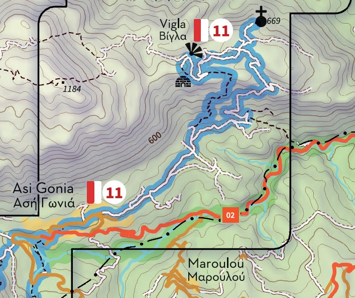
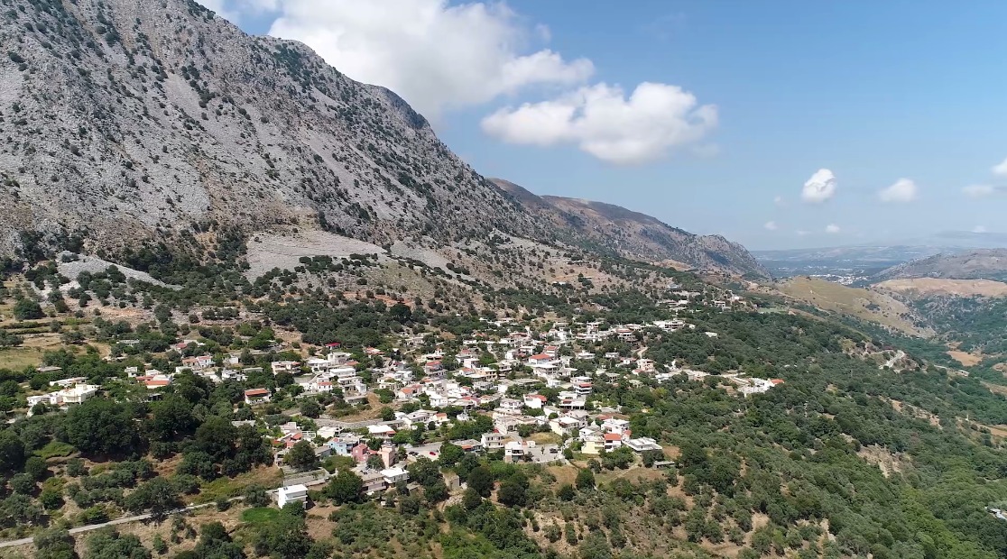
Route 11 connects the picturesque and historic village of Asi Gonia with the highest and wildest side of Dafnomadara, part of Mount Omanite (altitude 1,184 meters) at the east end of the White Mountains (Lefka Ori). The route starts and ends at Asi Gonia, which is located at an altitude of 418 meters at the southeastern end of Apokoronas. Due to the location of the village at the bottom of the Asigoniotiko gorge, the settlement was initially named Gonia (corner), a name that was later changed to Asi Gonia, in order to reflect the unruly character of its inhabitants (“asi” in Turkish means disobedient, rebel). True to its name, the village played an important role during the struggles of the Christians of Crete against the Ottomans. In August 1866 the Pancretan Revolutionary Assembly met in Asi Gonia, while in February 1867 the “Provisional Government of Crete” moved here, as also happened during the 1895-1896 revolution. Asi Gonia also played a prominent role during the German occupation and the Resistance (1941-1945).
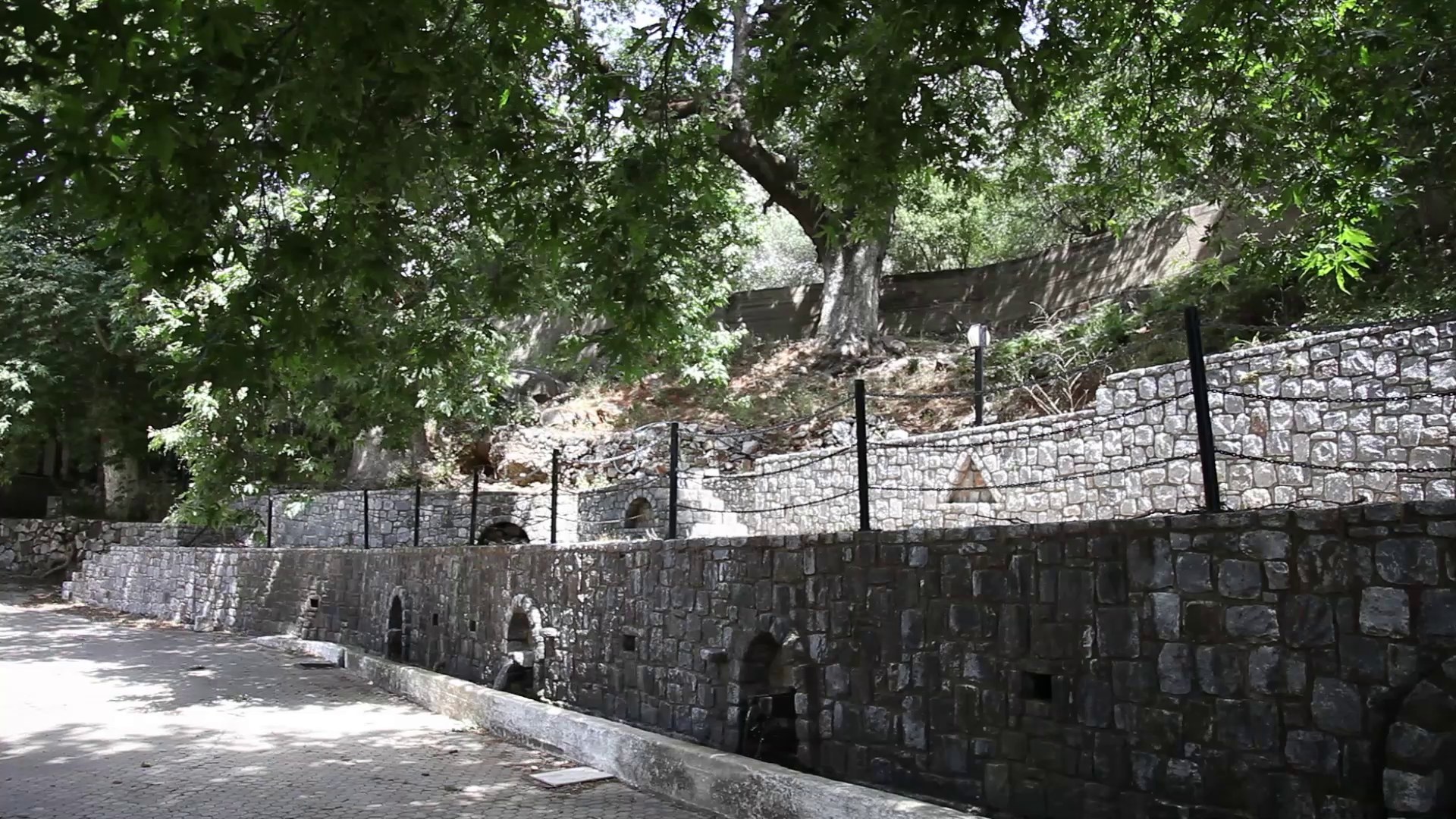
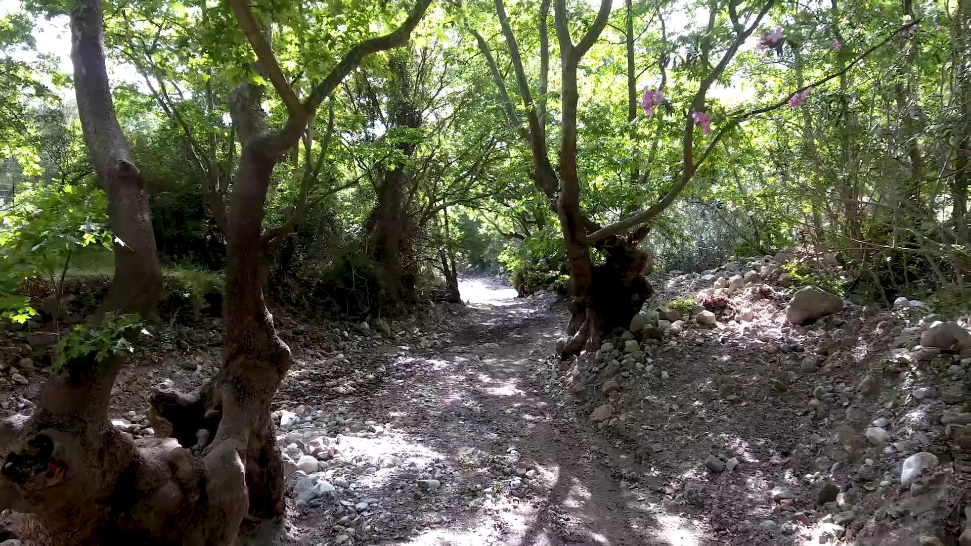
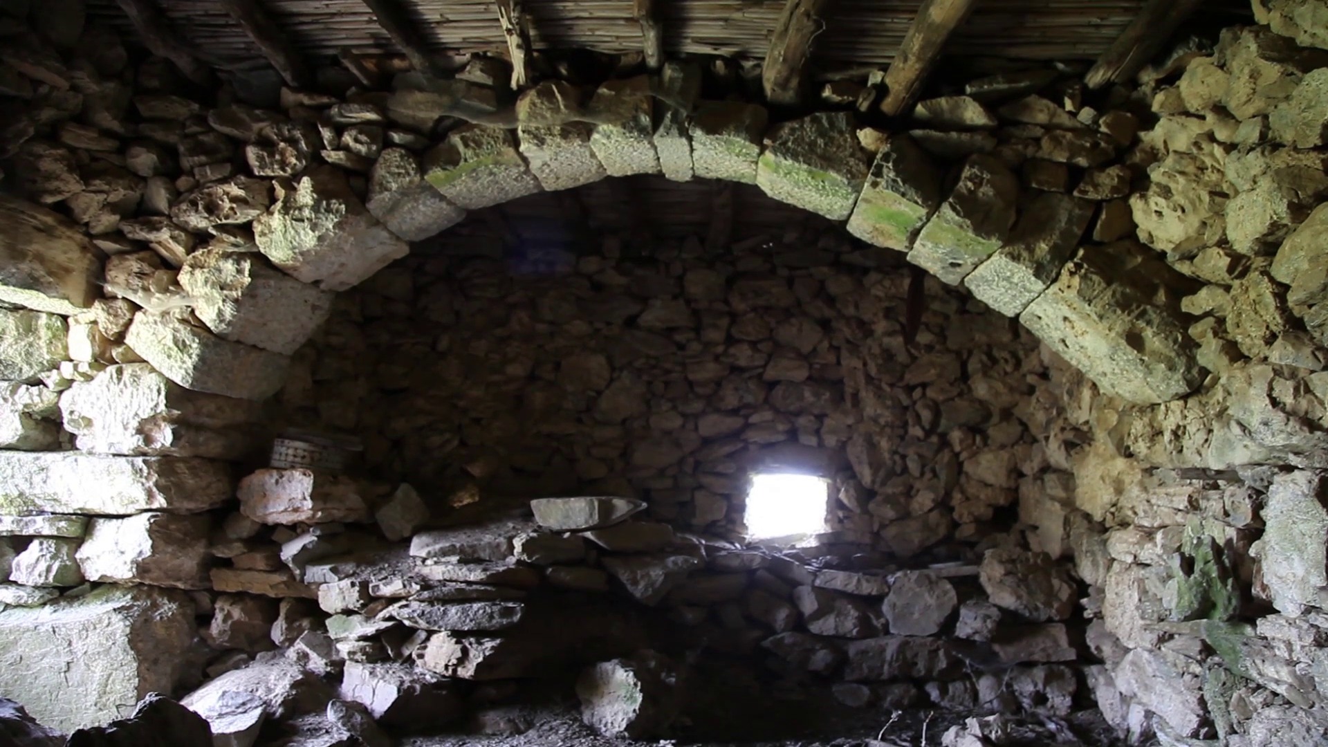
From the main square of the village move northeast to the Apano Gitonia (upper neighborhood) and the place Potistiria (watering place), where you can find a small museum dedicated to George Psychoundakis - Bertodoulos, also known as “the Cretan runner”, who used to travel huge distances -usually at night- transferring messages from the Middle East Allied Command to Cretan rebel groups and vice versa. From here move east along the road that follows the foot of the mountain, passing north of the local team field (250 meters from the museum) and turning left at the first junction, 450 meters above. Then turn left at the next fork (350 meters) and again left at the second (600 meters above). Here the road becomes a dirt road and then narrows to a path, which ascends to the ridge of Dafnomadara.
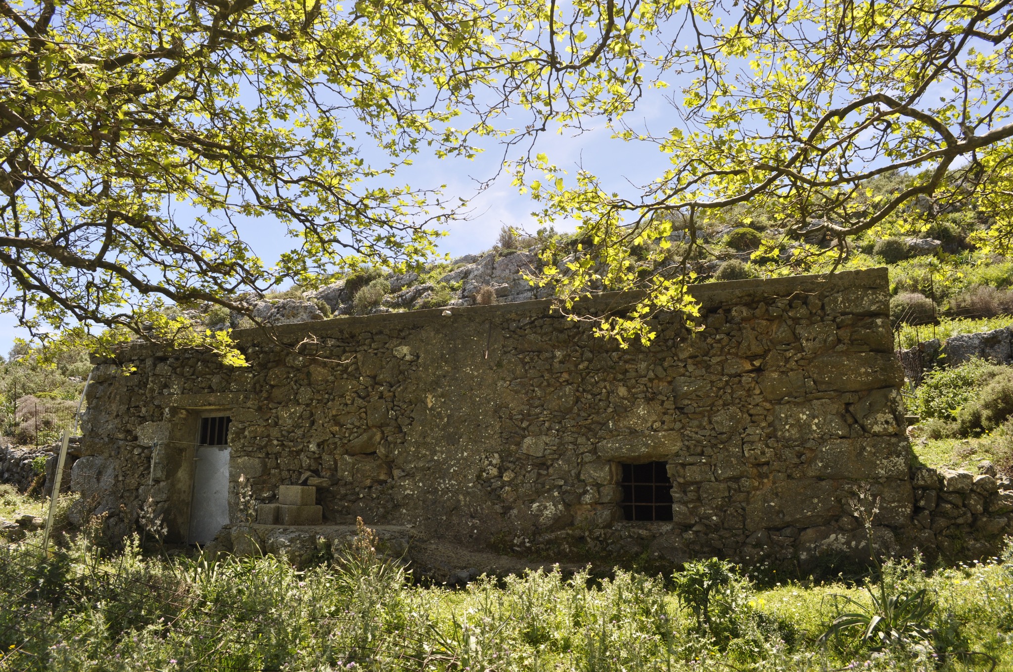
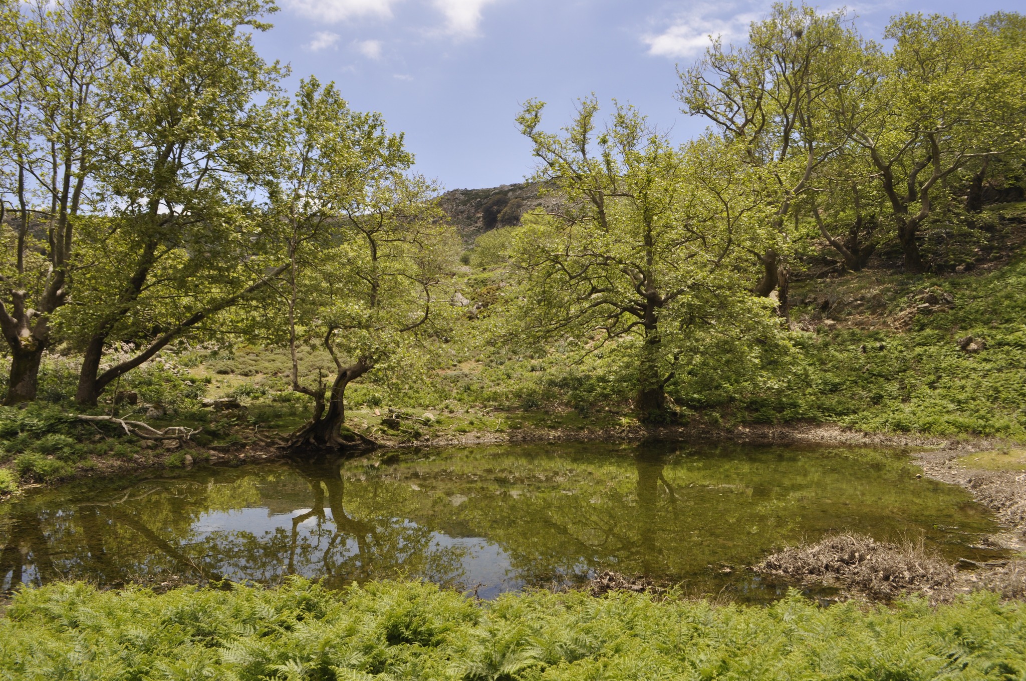
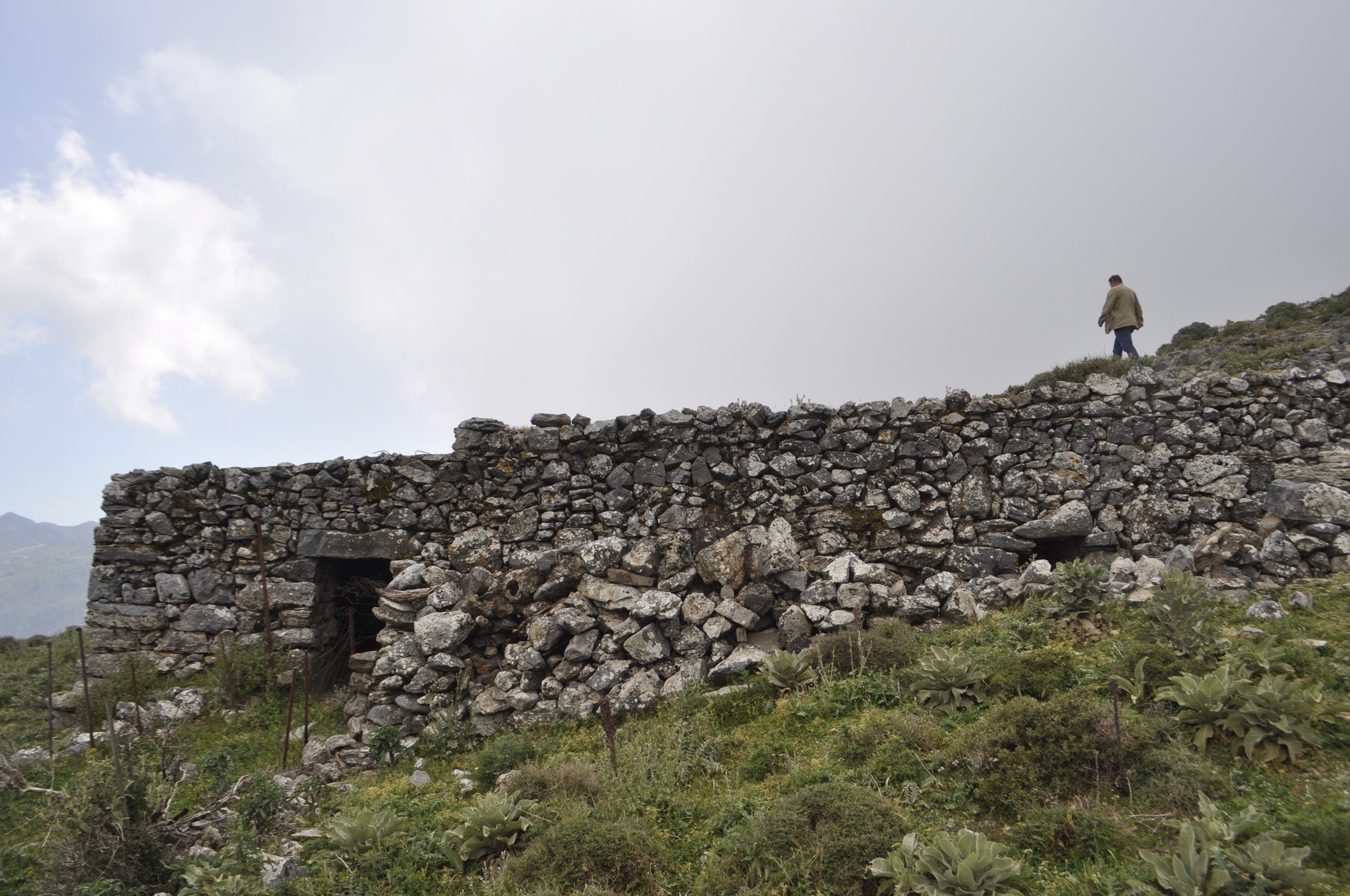
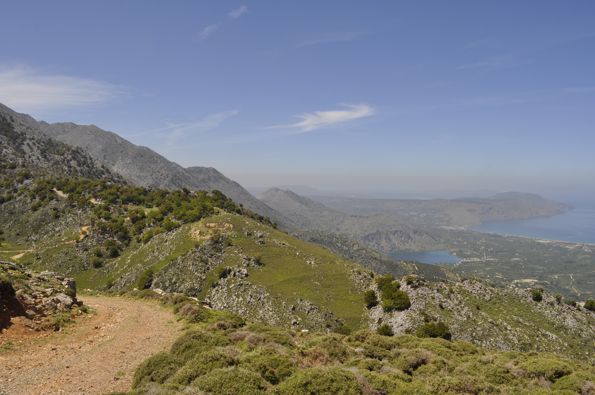
After crossing to the north side of the ridge, turn left (southwest) at the first fork you will encounter, in order to reach a small plateau where Mitato (mountain hut) Sbirakis (Yangos) and Mitato Gyparis (Bratzios) are located. From here the path continues north to a point named Vigla, from where you can enjoy excellent views of the valley of river Musselas, Lake Kournas and the Gulf of Almyros. In “front” of you (to the north) at a distance of about two kilometers is the Forest of Azilakas (Route 10) and the villages of Kournas, Kastellos and Patima (from west to east). To the west, your field of vision can reach Dafnokorfi and the hills of Kefalas, and to the east the hills of Petres and the hinterland of Rethymno. From Vigla return to the previous fork and turn left on the same dirt road (right as you came before), descending slightly for 1.4 km to the hill Kato Agori, where the beautiful church of Zoodochos Pigi is located.
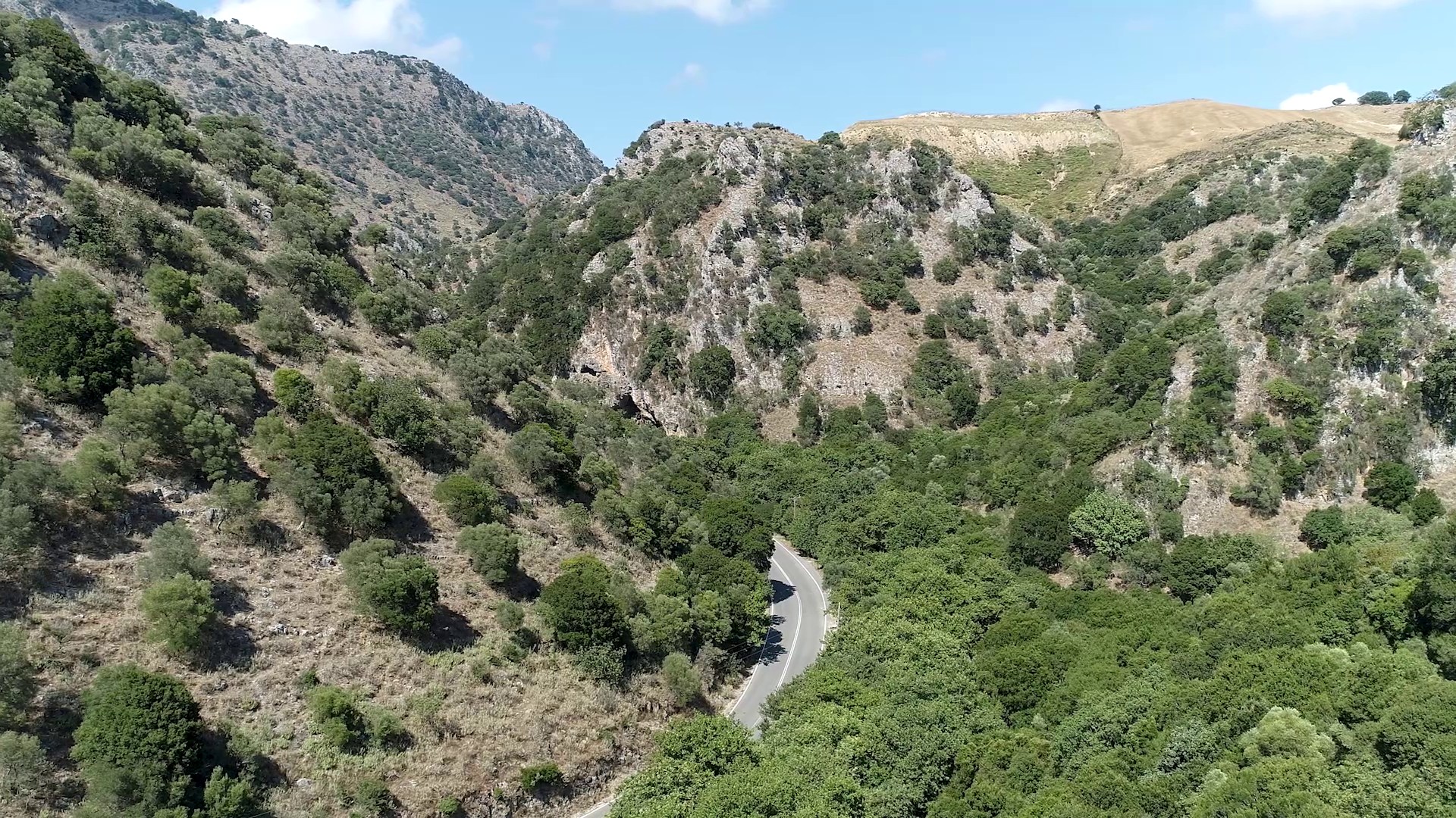
From this church return from the same path for 550 meters and then turn left, going up the dirt road to Asfentilides. The path ascends for about 800 meters, and then descends for about 2 km, passing through areas of natural vegetation, olive groves and pastures, offering views from many points to the springs of Argyroupoli opposite (east) and the Asigoniotiko gorge (south), the which is the limit of the prefectures of Chania and Rethymnon. After the 2 km mentioned above, you meet the road you followed from Potistiria and the stadium, which you now follow in reverse to return to Asi Gonia and the main road.

Source: Municipality of Apokoronas (2022)