Paths of Apokoronas (Route 7)
Route 7: The enchanted forest
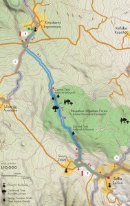
Total length 2.7 km, estimated time 1h 50΄
Xirosterni - Roupakias Forest - Souri - Sellia
Route starts from Xirosterni, a picturesque village in the hinterland of Apokoronas that serves as a connection point with Route 6 (described in the previous two notifications) and ends at Sellia, which serves as a connection point with Route 8 (which connects all the villages between Georgioupoli and Kefalas). From the center of Xirosterni and the church of Metamorfosi tou Sotiros (Transfiguration of the Savior) walk towards the southwestern entrance of the village, on the provincial road Vamos - Kefalas, where you will turn first right (west) and then left (south) to Litsarda.
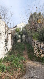
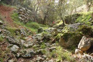
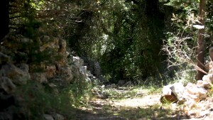
About 65 meters away turn left (east), leaving behind the common part with Route 6. From here, the route continues slightly uphill for 500 meters and then starts to descend towards Roupakias Forest. At the first junction you will encounter turn right (southwest) and then left (southeast) at the next one, near the point where the dirt road ends and narrows into a path. A little further on you will find a carved stone tank (gourna), an indication you have entered the forest. Roupakias Forest (also known as Orpakias among the locals) occupies most of the plateau between the villages of Kefalas, Xirosterni, Litsarda, Souri, Sellia and Likotinara, which doesn’t have a natural outflow to the sea. In the past the inhabitants of the surrounding villages resorted to the forest for timber and water, but respecting the environment and making limited use of its natural resources. At the same time, they opened several paths, which we hope to maintain and preserve through the Network of Trails of Apokoronas. About 350 meters after the first stone tank you met, the path meets a dirt road, which you will follow (south) for a while, as it becomes a path again. A little further down you will meet a second carved tank and gradually you will start ascending to Souri, which is 800 meters away (and 40 meters higher).
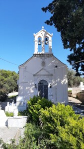
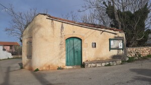
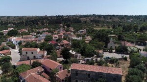
Souri is a small village that extends mostly to the north of the road that connects Litsarda with Sellia, and several of its houses overlook Kefalas, Drapanokefala and the Bay of Souda. To the south of the road, near the western entrance of the village, one can find the church of Agios Ioannis Theologos, which was built in 1910 by a crew under Elias Liodakis. In order to build this church, they had to demolish the previous one, which had been built in 1550, but the villagers saved the original inscription and incorporated it at a warehouse built next to the church.
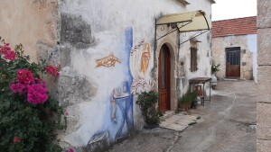
From Souri continue east along the paved road to Sellia, another beautiful village of the area, built at the eastern end of the Vamos hills near a mountain pass, which is called “seli” in the Cretan dialect. The village is not mentioned in the censuses of the Venetian period, therefore it is estimated it was founded during the Ottoman period. Although the houses of Sellia are scattered, many are excellent examples of folk architecture, while some have been repaired and maintained in good condition. The church of the village is dedicated to Agio Pnevma (the Holy Spirit) and was built in the early 19th century, while further south the road leads to the Ganade hill, which has a panoramic view to the valley of Vrissianos - Almiros in the south, as well as to Drapanokefala to the north. From here you can return by road to Vamos or Xirosterni, or continue on to one of the paths of Route 8, towards Kefalas or Georgioupoli.
Source: Municipality of Apokoronas (2022)


