


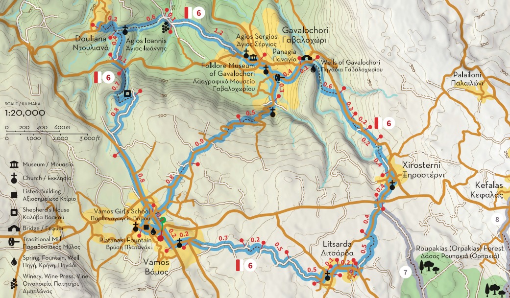
Paths of Apokoronas (Route 6)
Route 6: At the outskirts of the historic capital of Apokoronas
Total length 12 km, estimated time 4h 40΄
Vamos - Douliana - Gavalochori - Xirosterni - Litsarda - Vamos
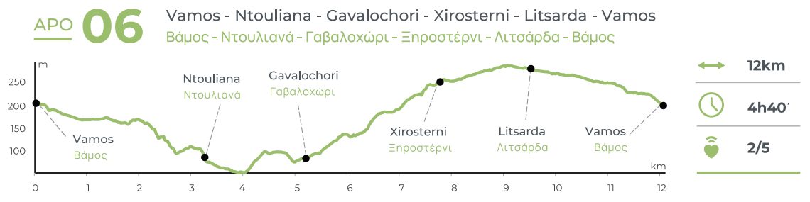
Part A: 5.5 km, estimated time 2h 10΄
Vamos - Douliana - Gavalochori
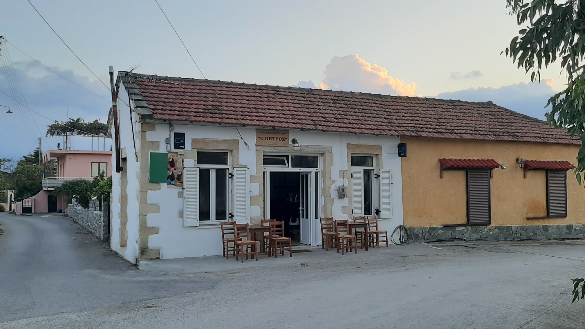
The area of central Apokoronas is known for its emphasis on alternative forms of tourism, such as agrotourism. It attracts a large number of visitors every year, while many foreign nationals have chosen to settle here temporarily or permanently. Many locals and visitors alike have a preference for hiking, usually on rural roads between villages or on their outskirts. Route 6 is actually an attempt to connect most of these villages, in a circular route that will start and end at Vamos, the historic seat of the Municipality of Apokoronas.
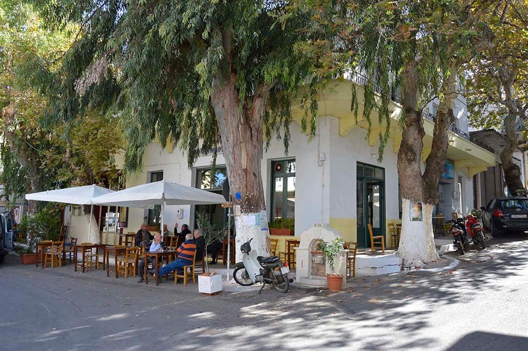
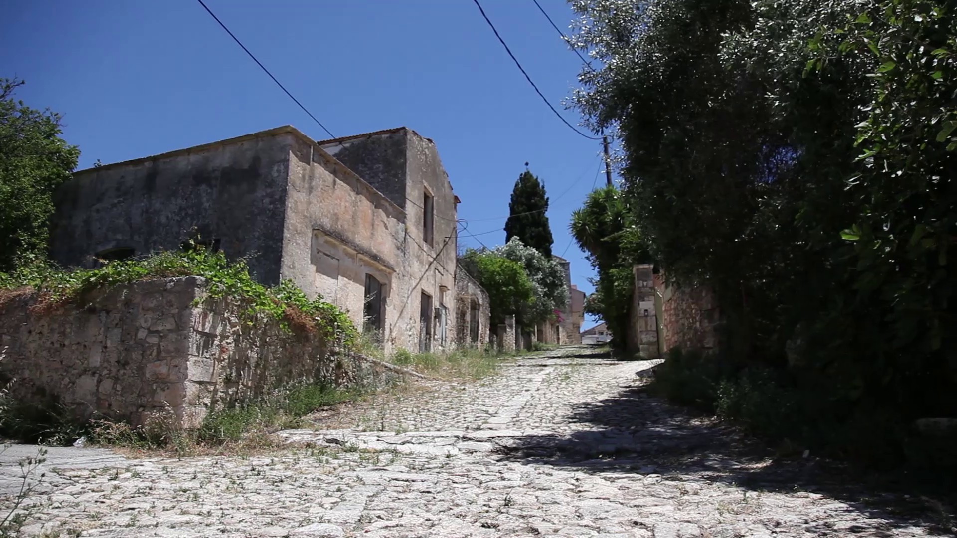
According to oral tradition, Vamos was founded in the 8th century, shortly after a group of Arabs exiled from Andalucia occupied Crete. The village remained in obscurity during the Venetian occupation, but due to its strategic location it became the seat of the Prefecture of Sfakia in 1867 and the site where many public buildings were built, such as the Administration building (Serayo), the Ottoman barracks (koumesionas or kışla), warehouses, tanks and schools. Route 6 starts from the central (upper) square of Vamos and leads you to its old neighborhood, passing by Kalderimi, an old cobbled street, the Maidens’ School (Parthenagogio) and many old houses and churches.
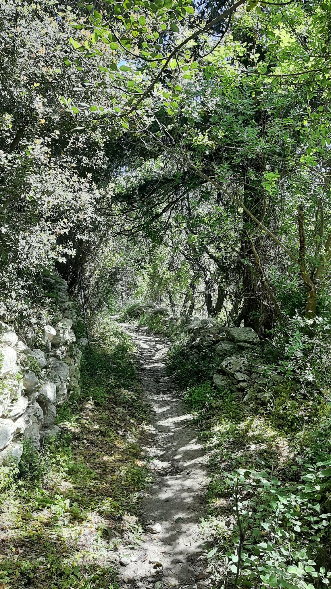
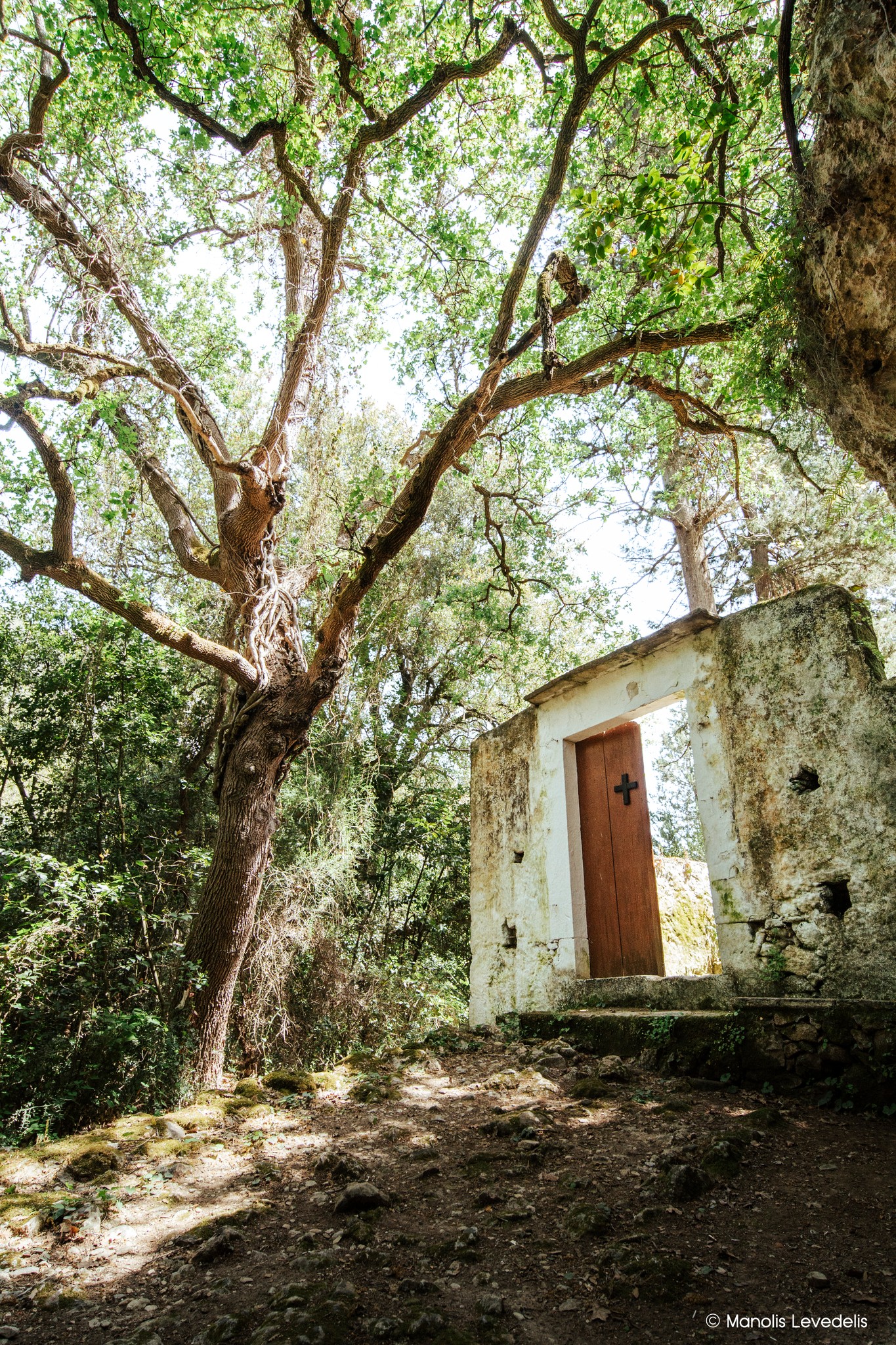
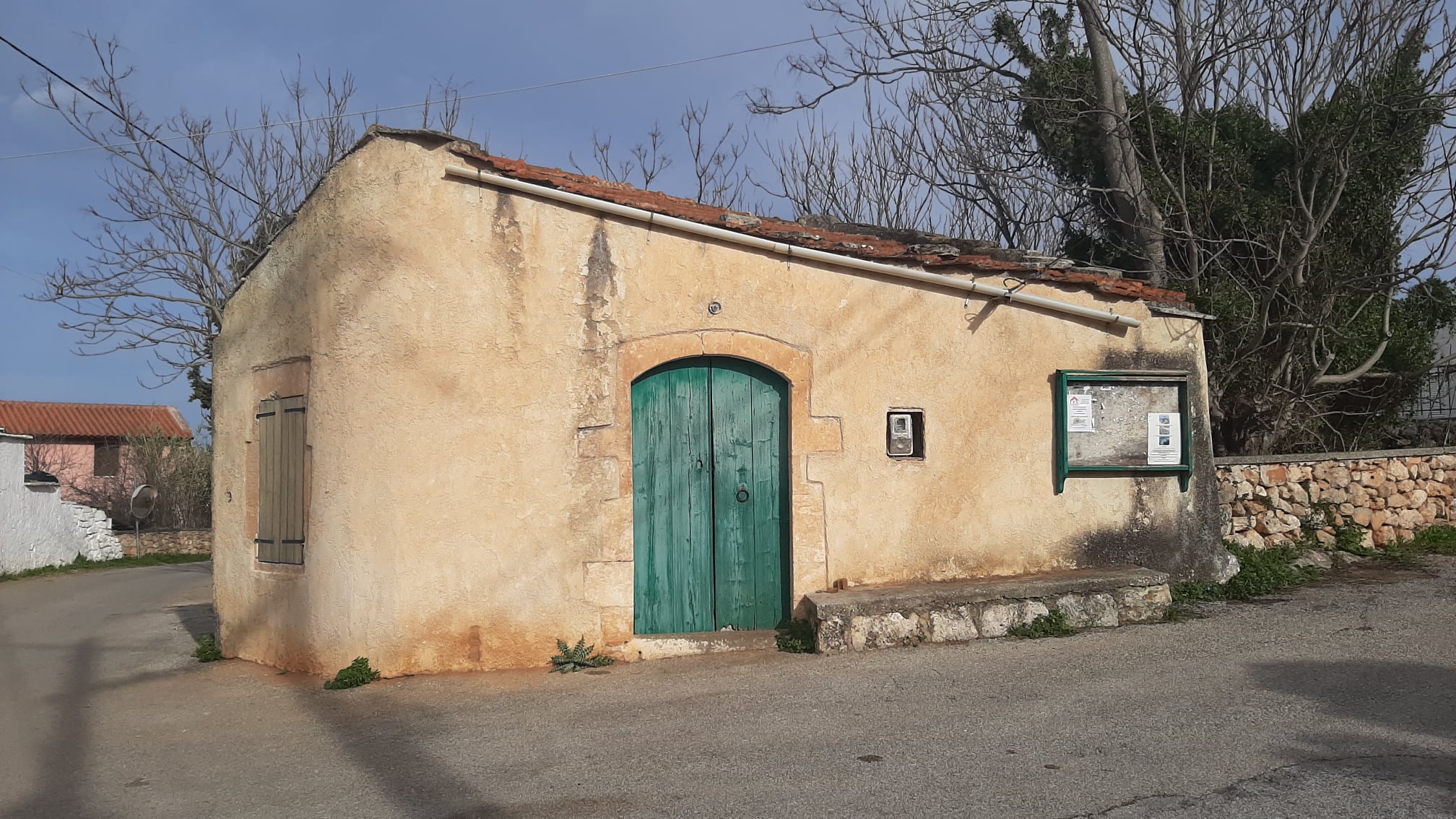
After walking through the old neighborhood of Vamos, turn right (east) and look for the provincial road Vamos-Kalyves, which you should follow north for 800 meters. After you exit the village, turn right at a fork at Makre Pezoula, a few meters further away turn right (northeast) again at the first junction and once more right at the next one, following the main road. At its end, some 750 meters from the country road, turn left and down again left on a downhill path, which passes by a small stone hut (koumos). Continuing on this path, about 700 meters below you will find a paved road, where you will turn left (west) and after 140 meters right (north) towards Livadoura, a plateau opposite Douliana. From here you can descend to the picturesque church of Agios Ioannis Rigologos (400 meters) and continue west (and uphill) to Douliana (300 meters), or follow another path to the east, heading to Gavalochori (1.9 km).
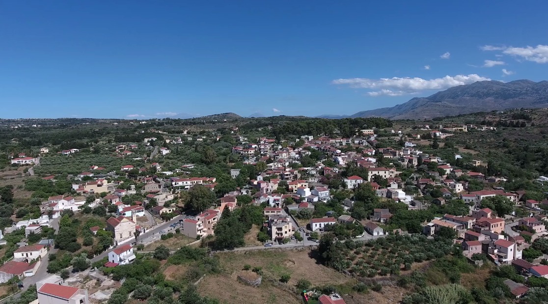
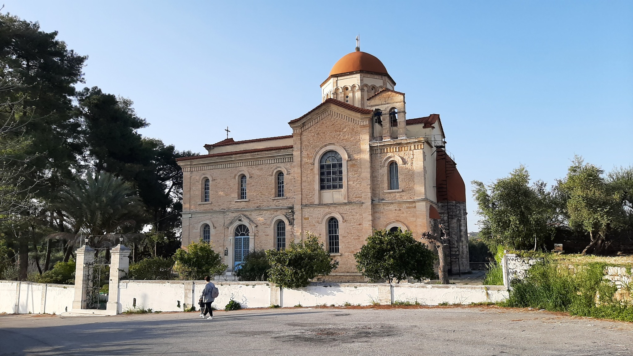
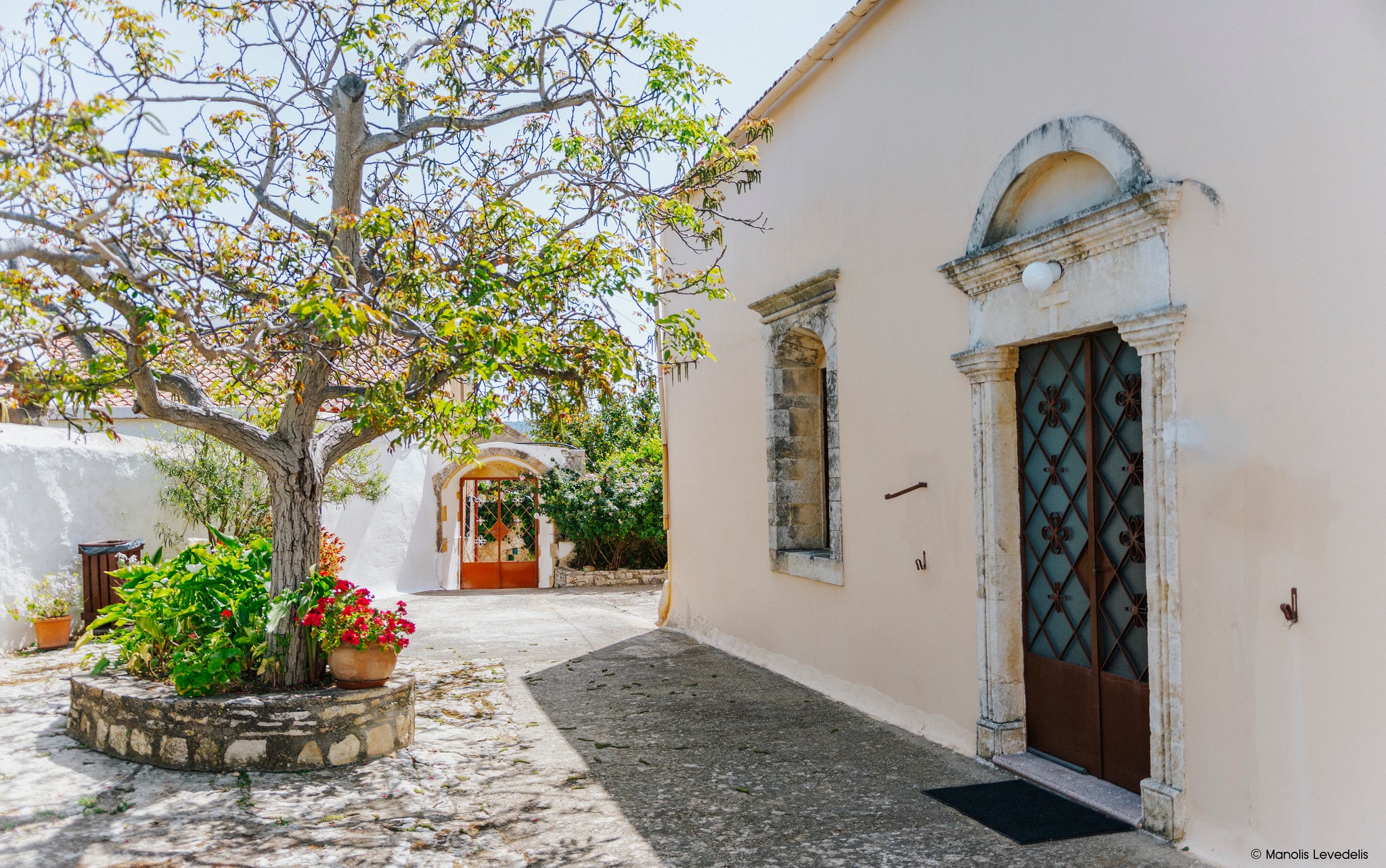
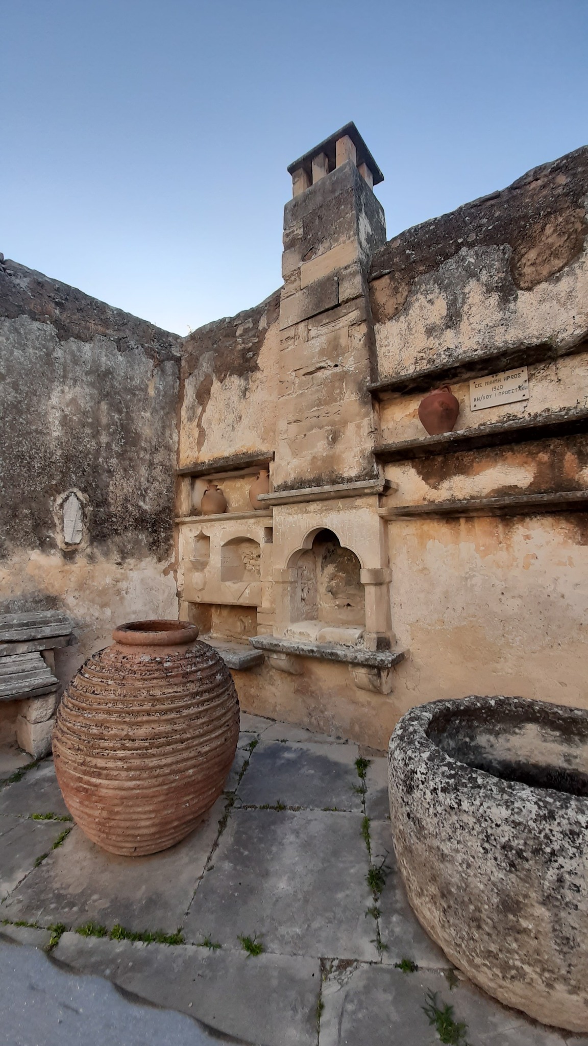
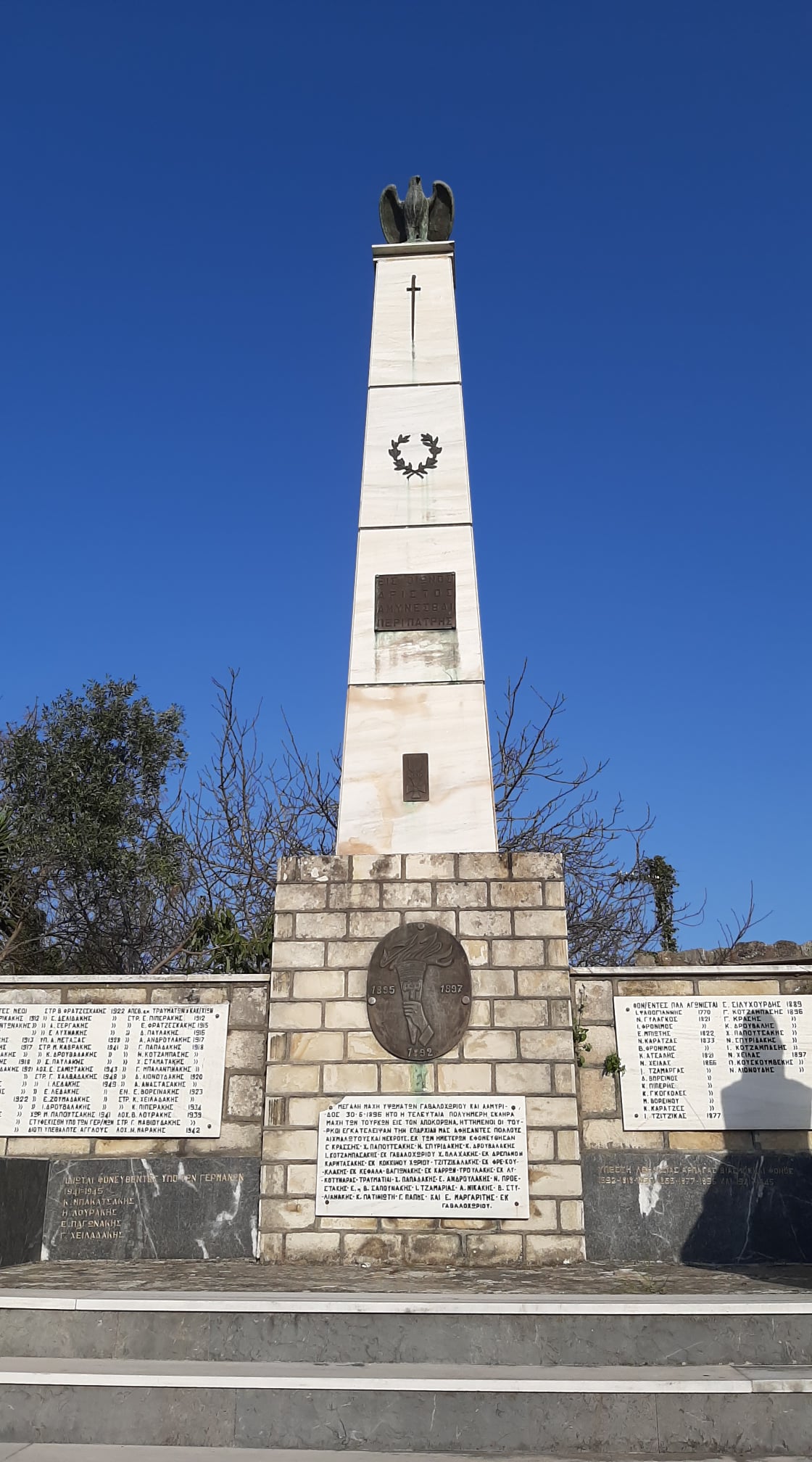
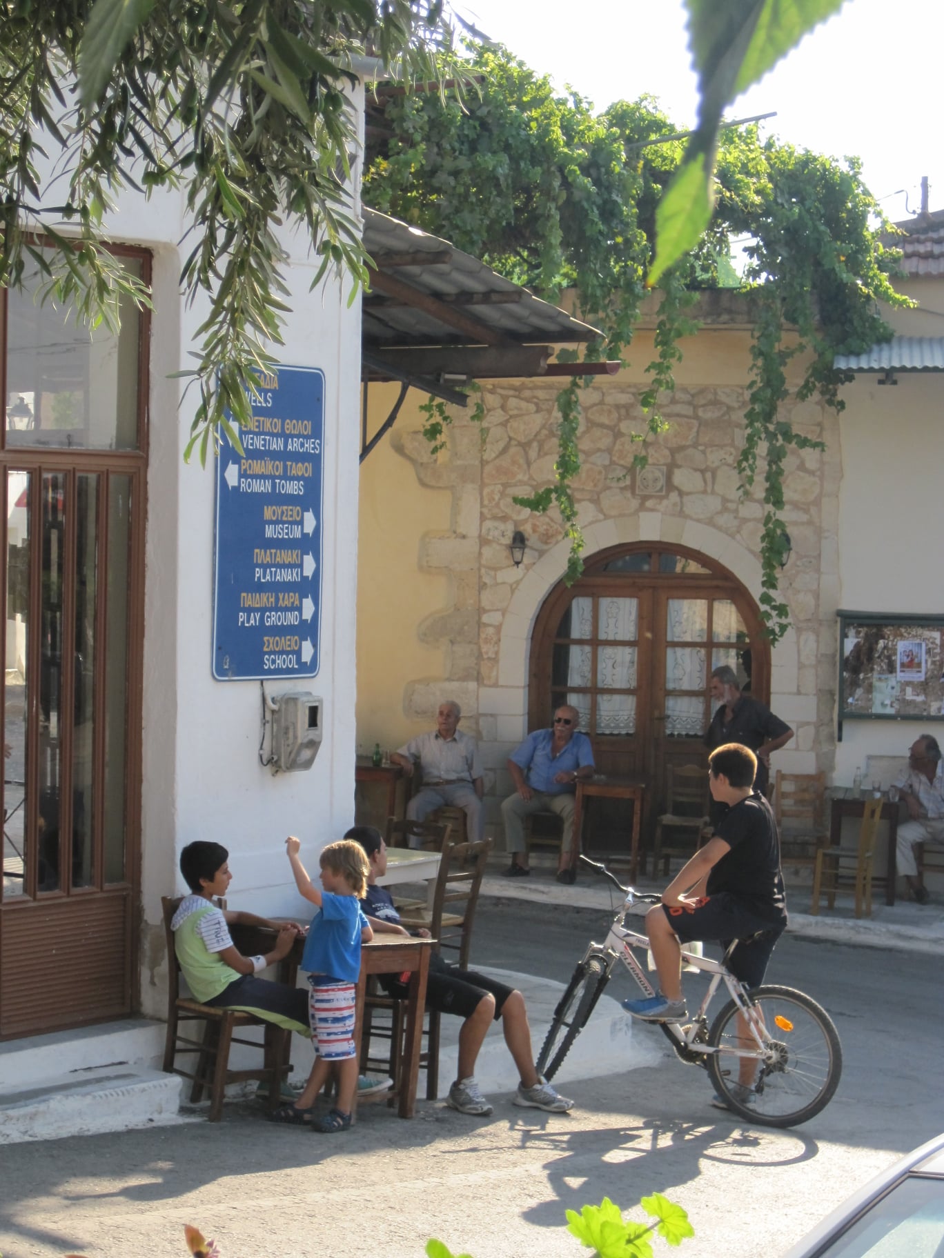
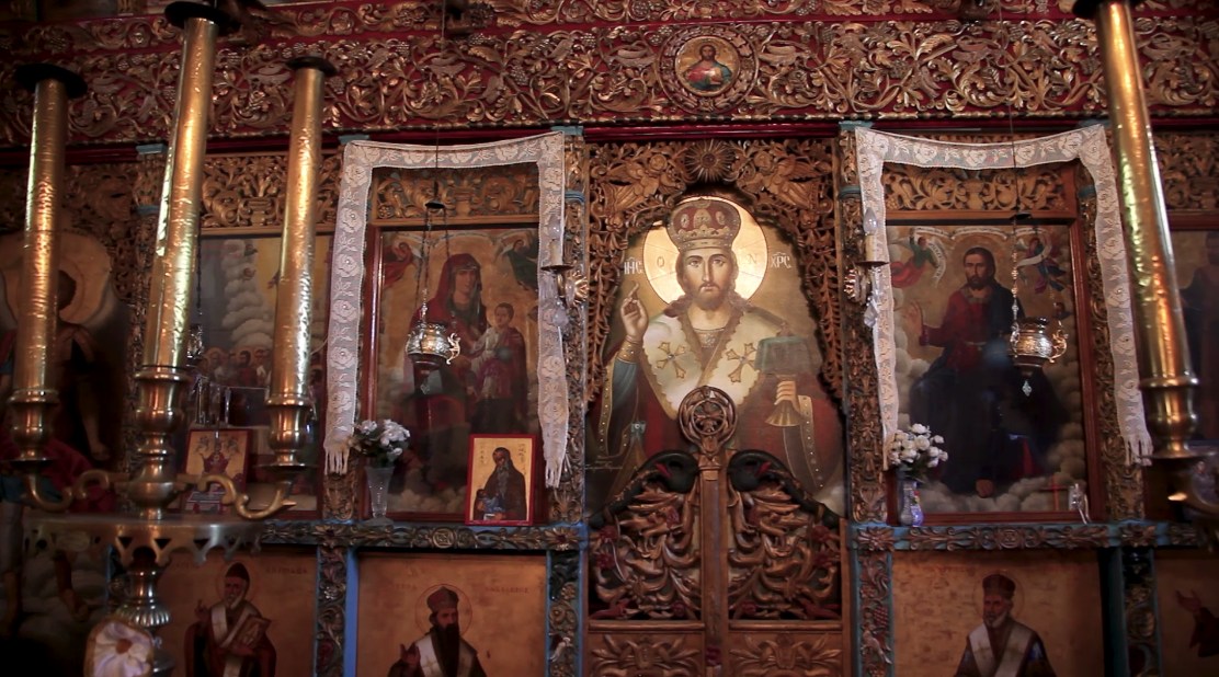
Gavalochori is a beautiful traditional settlement built in the corner of the small plain formed by the hills of Vamos and Kefalas. It took its name from the Byzantine family of Gavalades, one of the twelve who settled in Crete in the 12th century and became known as “arhondopoula” (nobles). The village maintained its importance during the Venetian and Ottoman periods, but locals participated actively at the struggles for liberation. During the latter phase of the 1821 revolution, Gavalochori became temporarily the seat of the “Cretan Council”, while after 1893 several locals participated at the fraternity that developed into the Metapoliteftiki Committee (1895-1896). One of the first buildings you will encounter entering Gavalochori from the west is the impressive church of Agios Sergios, and a few meters away you will find the Folklore Museum (Laografiko Mouseio), which houses exceptional samples of folk art, textiles, furniture, weapons and paintings, exposed in a house and an olive mill that have been designated a historic monument. After the museum continue on to Platanaki Square and the central square of the village, where you should find a monument to those who fought a and fell during the Cretan revolutions, a bust of the old Vamos mayor and chieftain Konstantinos Malinos and a stone engraving about kopaneli, the traditional art of lace making.
From Gavalochori you can return to Vamos following the uphill path that passes through the churches of Agios Fanourios and Agios Mamas (2.5 km), or continue to Part B of Route 6, through Xirosterni and Litsarda.
Part B: 6.5 km, estimated time 2h 30΄
Gavalochori - Xirosterni - Litsarda - Vamos
Part B of this route starts from the central square of Gavalochori, where Part A ends. From here move east (and uphill) for about 600 meters to one of the most beautiful and well hidden “secrets” of the village, Gavaliana Pigadia, a complex of thirty stone tanks of the Venetian era, from where locals used to get water. From the wells move south and then southeast for about 600 meters, meeting the road that connects Gavalochori to Xirosterni at the location Kournedes. Continue southeast along the road for about 300 meters and a little further away turn right into a path that becomes a dirt road (for 200 meters) and then rejoins the main road. About 200 meters away there is a second detour that leads to the northern entrance of Xirosterni (400 meters).
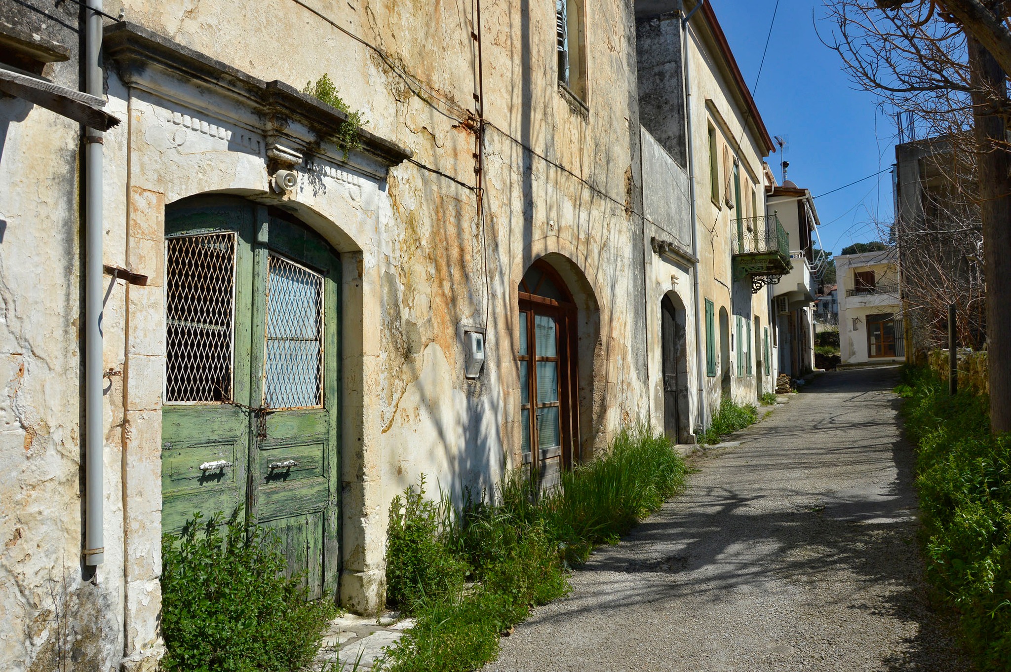
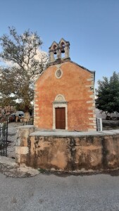
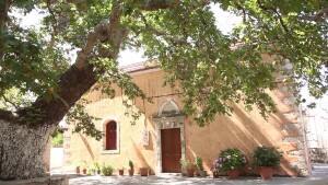
Xirosterni has many interesting examples of folk architecture, while two of its houses have been designated as historic monuments. At the center of the village you will find the church of the Transfiguration of the Savior (Metamorfosi tou Sotiros), which has an impressive wood-carved iconostasis and celebrates on August 6, when a large festival takes place, which has been established as one of the most famous in Apokoronas. Continuing to the southwest entrance of the village, 90 meters away you will see a monument dedicated to the most famous child of the village, the legendary lyra player Charilaos Piperakis, who was born in Xirosterni in 1895 and immigrated to the United States in 1911, where he spread Cretan music to expatriate Greeks and foreigners alike. About 100 meters away, you should meet the provincial road that connects Vamos to Kefalas, where you will turn first right (west) and then left (south) to Litsarda.
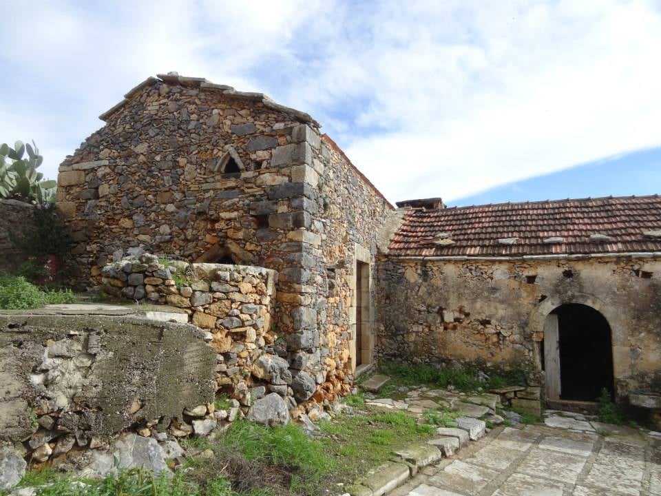
About 400 meters after the junction you will turn left (southeast) on a dirt road that leads to the eastern end of Litsarda (after 500 meters). The village was first mentioned at a 1637 church census as Lizzarda, which means lizard. Although the older houses of the settlement have been altered over time, many of their older architectural features are preserved, while the church of Panagia, in the center of the village, has an impressive wood-carved iconostasis and remarkable icons made by Ioannis Aligizakis. From the church of Panagia continue south, turning right (west) at the first intersection and left at the next one, 500 meters away. About 500 meters away this dirt road becomes a path (for 200 meters) and once more a dirt road, which leads to the eastern end of Vamos (after 700 meters).
From here, cross the vertical road and continue west to the forest of Vamos (190 meters), turning right (north) on the main road and descending to the main square (200 meters), returning to the starting point of Part A and completing the circular route.
Source: Municipality of Apokoronas (2022)